Maps
|
|
Maps |
Kentucky
County formation Map
This is a link to county
formation maps at the Clark County KY USGenWeb page.
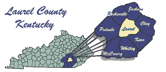
Map
of modern day Laurel County
This
is a link to a map of Laurel County at the University of Kentucky web-site.
It is a large map; 928K.
It is, however, an excellent map and well worth the time it takes to download
it.
Because of it's size some
computers might not be able to view this map.
Mapquest
This
site has present day maps of everywhere in the U.S.
1895
Map of Laurel County
This is also a large map; 579K.
Maps of
other Kentucky Counties