|
Historical Markers of
Lincoln County, Kentucky |
|
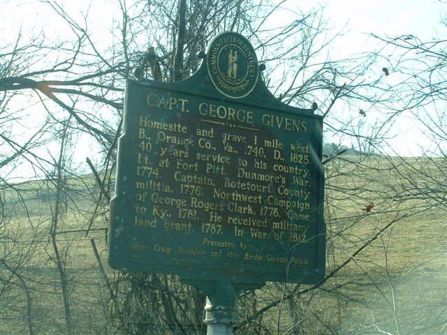
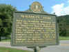
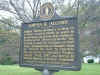
Captain George Givens
|
 |
|
|
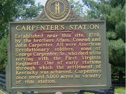
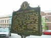
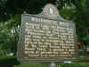
Carpenter's Station
submitted by: Sandy Kassen
|
 |
|
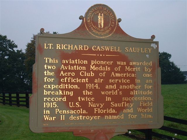
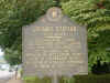
Caswell Saufley
1660 US 150 W.
Stanford, Kentucky |
 |
|
|
Caswell Saufley
1660 US 150 W.
Stanford, Kentucky |
 |
|
Confederate Routes
Dix River Bridge |
 |
|
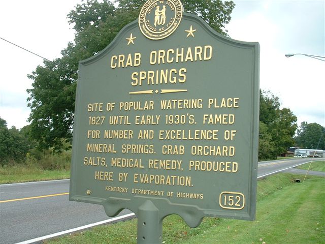
| Crab Orchard Springs |
 |
|
|
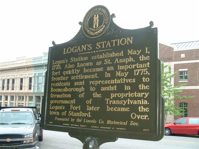
Logan Station
Corner of Martin Luther King and Danville Avenue
|
 |
|
Logan Station
Courthouse Lawn |
 |
|
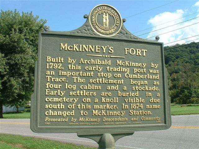
| McKinney's Fort |
 |
|
|
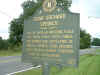
McCormack Christian Church
submitted by: Ronnie Bates
|
 |
|
Ottenheim
5395 US 27 South
top of Halls Gap |
 |
|
|
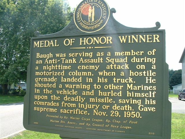
PFC William B. Baugh, USMC
front
|
 |
|
PFC William B. Baugh, USMC
back |
 |
|
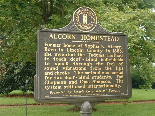
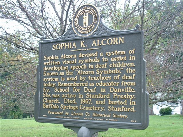
Sophia Alcorn
2135 Danville Ave
Stanford, Kentucky |
 |
|
| Sportsman's Hill |
 |
|
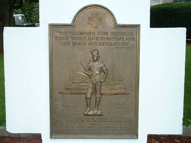
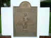
Spanish American War Memorial
Courthouse Lawn |
 |
|
Wilderness Road
Courthouse Lawn |
 |
|
|
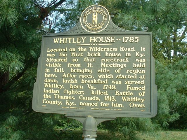
Whitley House - 1785
|
 |
|
Copyright ©
2001, - 2015 Copyright Notice: All files on
this site are copyrighted by their creator. No part of this
web sight may be reproduced in any form without specific permission from the
submitter/owner and Barbara Rice.
Although
public information is not in and of itself copyrightable, the format in which
they are presented, the notes and comments, etc., are.