The Hanshaw Trails
The East Trail

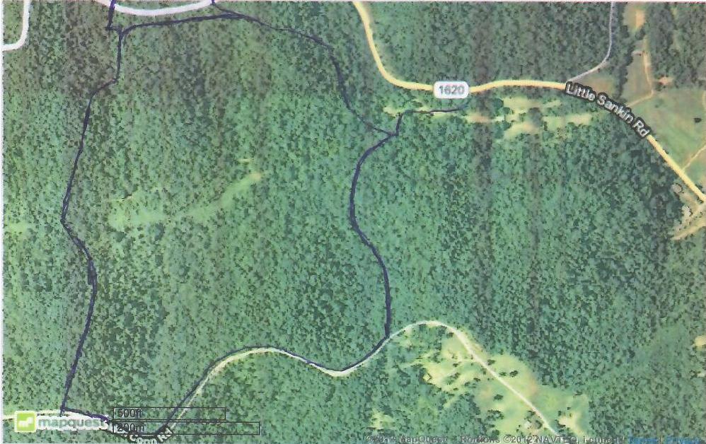
This is an aerial photo of the Hanshaw property area.
The East Trail runs along the easternmost quarter of the Hanshaw property.
I will update this photo with an approximation of the trail's route shortly
Looking north on Hanshaw Road from the East trail's entrance
Looking south on Hanshaw Road from the East trail's entrance
The entrance to the trail parallels the road for several yards
The first half of the trail is well cleared, level and with little evidence of logging
Several erosion control berms cross the trail, but are easily crossed.
The pile of branches marks where the trail turns left down a steep grade.
There is a steep hillside drop in three directions from this point.
It's a little difficult to see in this photo, but a bulldozer was used to plow a large tree stump and root ball
into the middle of the trail just where it makes the left turn. I worked for almost 2 hours to clear a
path on either side of the obstruction.
The left hand passage is only about 18 inches wide for a short distance.
The right hand passage is about 30 inches wide.
Once past the obstruction, the trail drops steeply for about a 150 feet. An experienced horse and rider can
no doubt navigate the trail here, although the trail surface is covered with loose rock.
This is a little steeper than it appears in this photo.
The East trail takes a 90 degree turn to the right at the bottom of the hill.
This is the only difficult area of this trail.
The East trail intersects with the lower end of the Southeast trail at the bottom of this grade.
The Southeast trail is coming from the left in this photo.
Once past the downslope. The trail gradually works its way down to the central hollow.
Ahead is where the East trail terminates as it intersects with the Cental trail.
Coincidentally, the West trail terminates here as well, coming from the opposite direction.