The Long Hunt
by Ted Franklin Belue
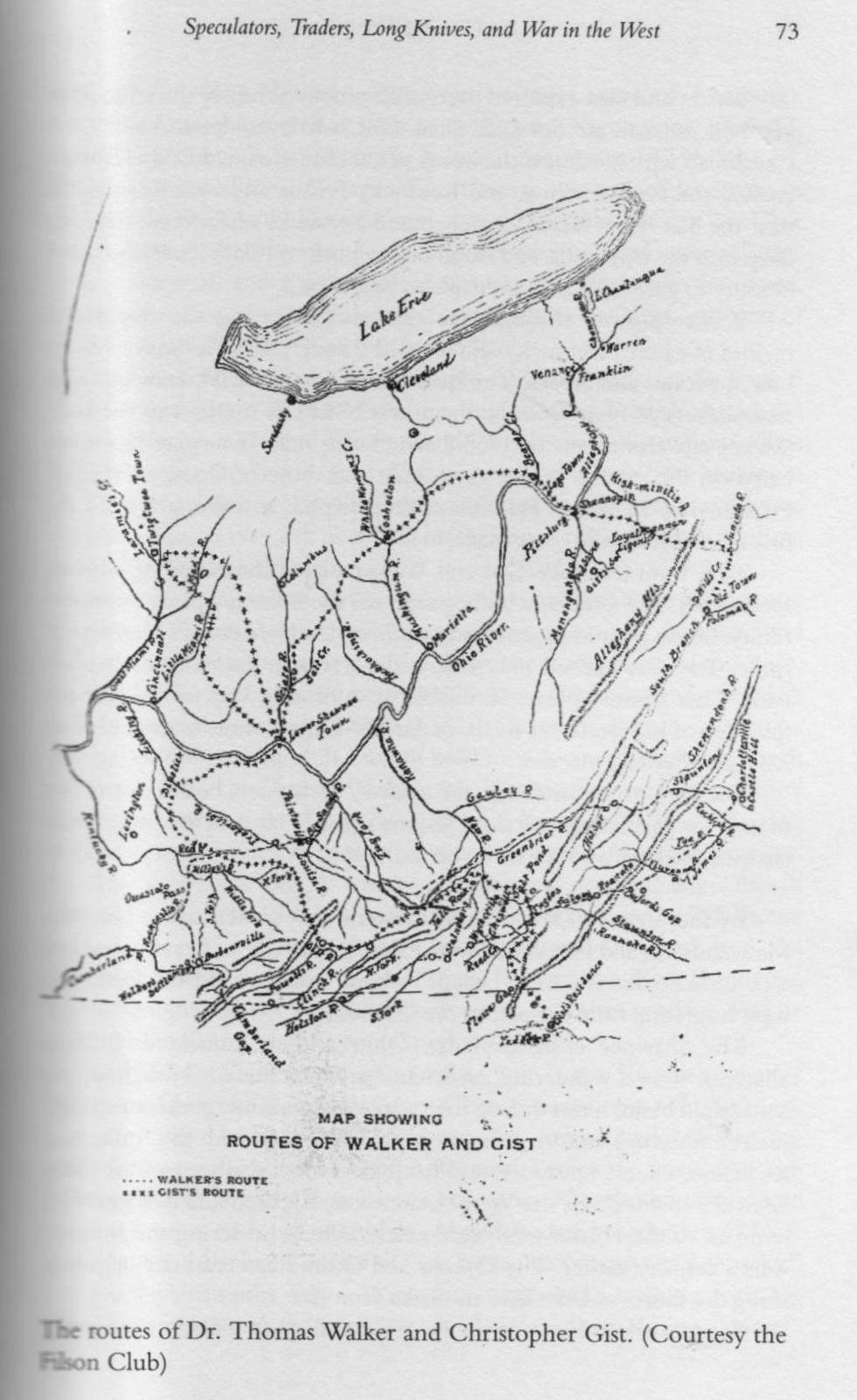
It's a little difficult to orient oneself on this map. Start at the center left edge
of the map and move your eye to the right and you'll see the Scioto River as in flows south into the Ohio.
Tygarts Creek is not shown, but it would be just to the right of "Lower Shawnee Town" on the Kentucky (lower) side of the Ohio.
About 3/4 of an inch to the right of "Lower Shawnee Town" you will find the
Big Sandy River (the border between Kentucky and West Virginia).
The Cumberland Gap is on the lower left edge of this map.
This map has the upper reaches of the Licking River (near Paintsville, Ky.) labeled with a different name.
Its upside down and difficult to descipher ("Trelorics R."????).
Triplett Creek is in that general area, but it's a short and very inconsequential waterway.
Submitted by: John W. Grace