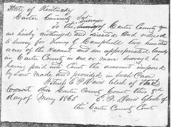
State of Kentucky
Carter County Sct
		To the surveyor of Carter County you
are hereby authorized and directed and ordered
to survey for Thomas J. Campbell two hundred
acres of the vacant and un appropriated land
in Carter County in one or more surveys, he
having paid into Court the amount imposed
by law made and provided in such case
  		Witness E. P. Davis   Clerk of
             	Carter County Court this 8th
day of May 1865	E. P. Davis Clerk of
 		    the Carter County Court

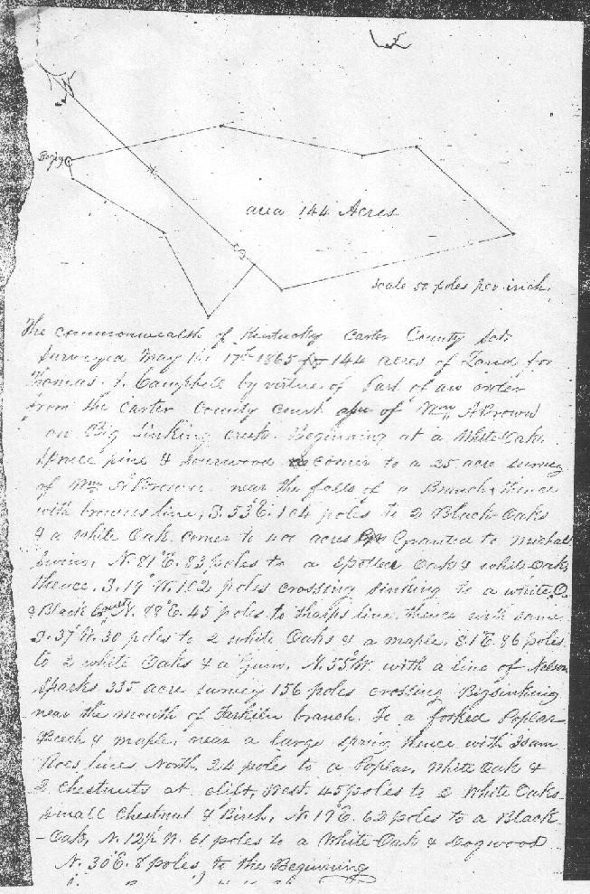
						scale 50 poles to an inch

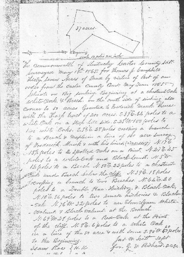
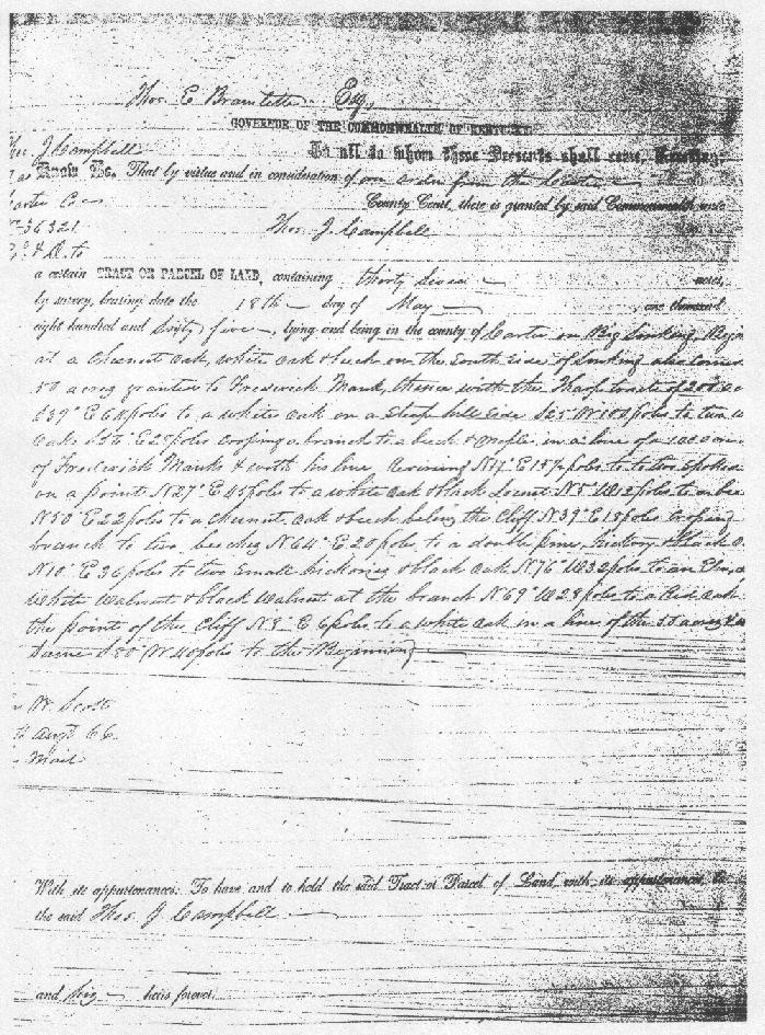
The Commonwealth of Kentucky Carter County Sct
Surveyed May 18th 1865 for Thomas J. Campbell
Thirty seven acres of land by virtue of part of an
order from the Carter County Court: May tenth(?) 1865
Situate on Big Sinking. Beginning at a chestnut oak
white oak & beech, on the south side of Sinking also
corner to acres ????? toFrederick Mauk, thence
with the Harp(?) tract of 200 acres, S 39 E 64 poles to a
white oak on a steep hill side, S 25 W 100 poles to
two white oaks, S 56 E 28 poles crossing a branch
to a beech & maple in line of 140 acre survey
of Frederick Mauk & with his line (reversing) N 17 E
15 1/2 poles to 2 spotted oaks on a point. N 27 E 45
poles to a beech N 50 E 22 poles to a chestnut
oak and beech below the cliff, N 39 E 18 poles
crossing a branch to two beeches, N 64 E 20
poles to a double pine, hickory & black oak
N 10 E 36 poles to two ????? hickories & black
oak, N 76 W 32 poles to an elm lynn, white
walnut & black walnut at the branch,
N 69 W 28 poles to a red oak at the point
of the cliff, N 3 E 6 poles to a white oak
in a line of the 50 acre & with same S 80 W 40 poles
to the beginning.			James W. Scott
					for G. W. Prichard,  S.C.C.
If anyone knows the owner/source of these images, please contact me so that they may be given credit.