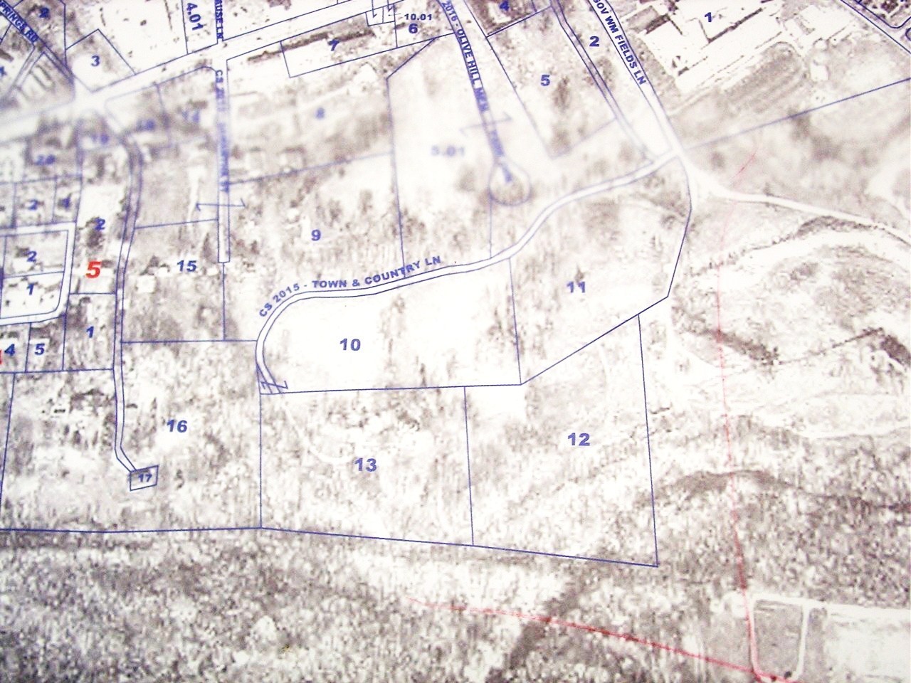
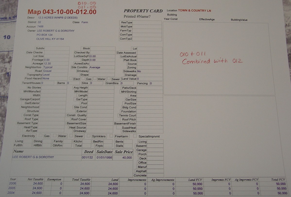
Assessor's Map 043-10, Parcels 10 and 12.
The eastern boundary call (N 2.75 W 350) of "Tract 1" matches the western boundary call of the tract described by deed book 1, page 135
So, "Tract 1" here represents the western portion of the old Paynter property (now Robert Lee "Tracts 10 & 11")
"Tract 2" is referred to as "part of the former Paynter lands"
"Tract 2" eastern boundary is next to Ashland Oil Co. land" and its SE corner is "to a Willow on the banks of Tygart Creek"
"Tract 2" southern boundary is the C&O right-of-way. The western boundary is Cold Springs Creek: "the east side of Cold Springs Creek"
The reference to Cold Springs is obviously an error in the survey. This property obviously does not stretch between the Ashland Oil and Cold Springs.
Note that the final call on "Parcel 2" compounds the error. The call of "N 77.5 E 748" is the width of the old Payneter property, but "Track 2" only
represents the eastern portion of the old Paynter property.
That would imply that "Tract 2" is actually the eastern half of what is now the Max Hammond property (parcel 16).
Old Assessors map "A", parcel 86, appears to conform to the boundaries of tract referred to in this deed as "parcel 2".
"Tract 2" is placed south of the Shirley Knorzer property, while "Tract 1" is placed north of the Shirley Knorzer property
and west of the Walter H. Smith tract
Although the southern boundary of "Tract 1" is exactly parallel to the northern boundary of "Tract 2", "Track 1's" line begins "at a Buckeye",
while Tract 2's" line starts at "a point in the road and Branch". Therefore the "Knorzer property" must be between "tracts 1 and 2".
"Tract 2" is similar to shape as parcel 85 on old Assessors map "A", and the location is similar, but none of the boundary references match.
"Tract 2 is totally north of the C&O ROW", whereas the referenced "parcel 85" extends south of the C&O ROW.
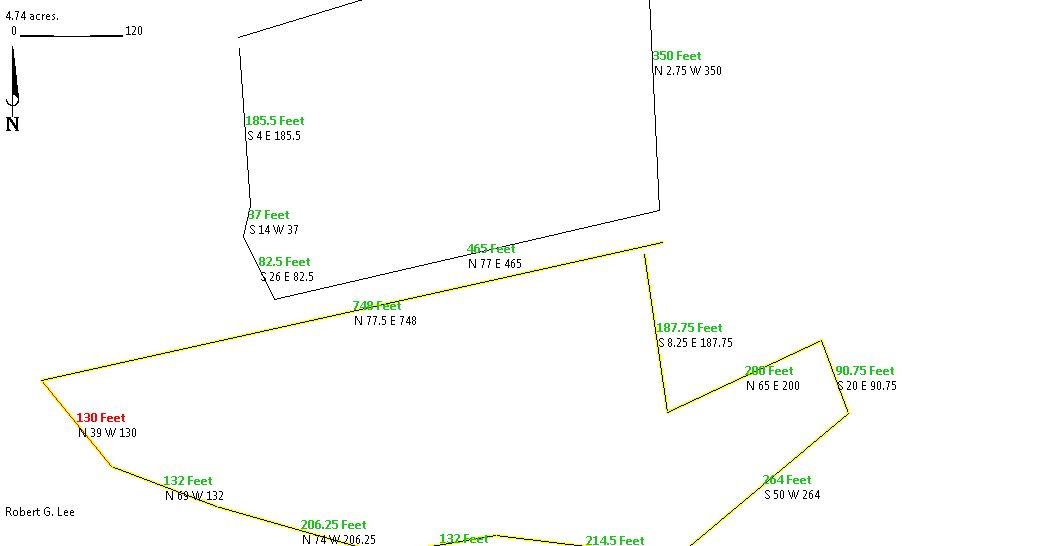

Current Assessors map 43
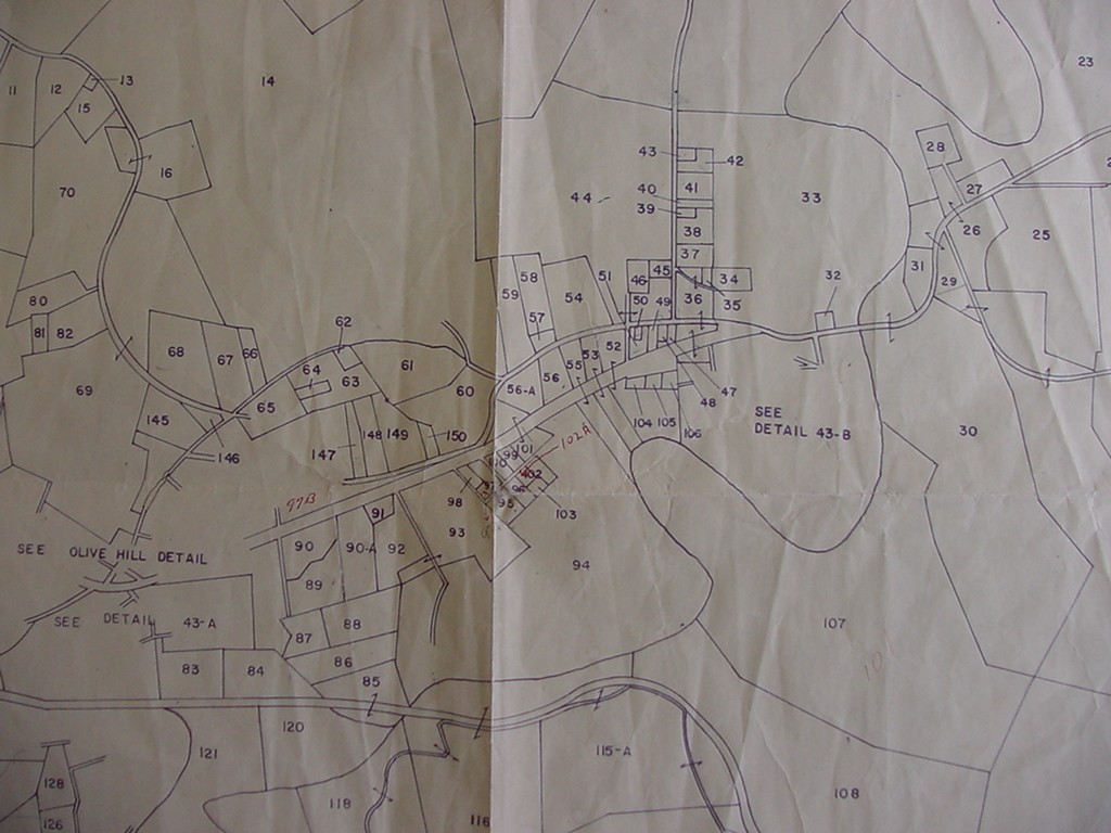
Old Assessor's map "A"
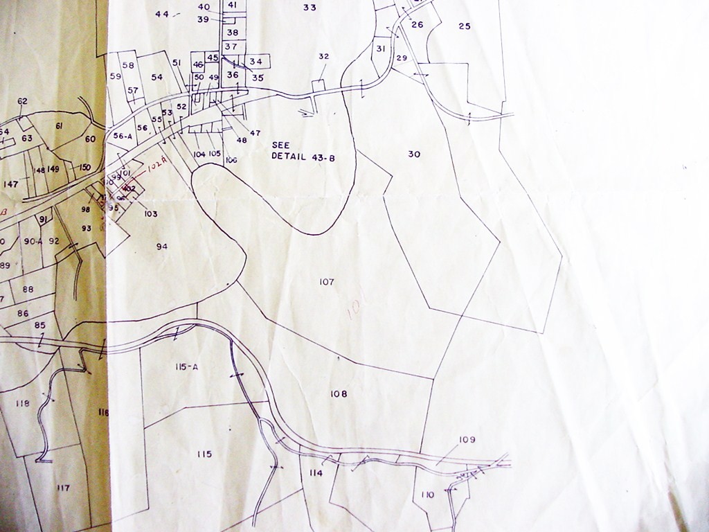
Old Assessor's map "B"
Submitted by: John W. Grace