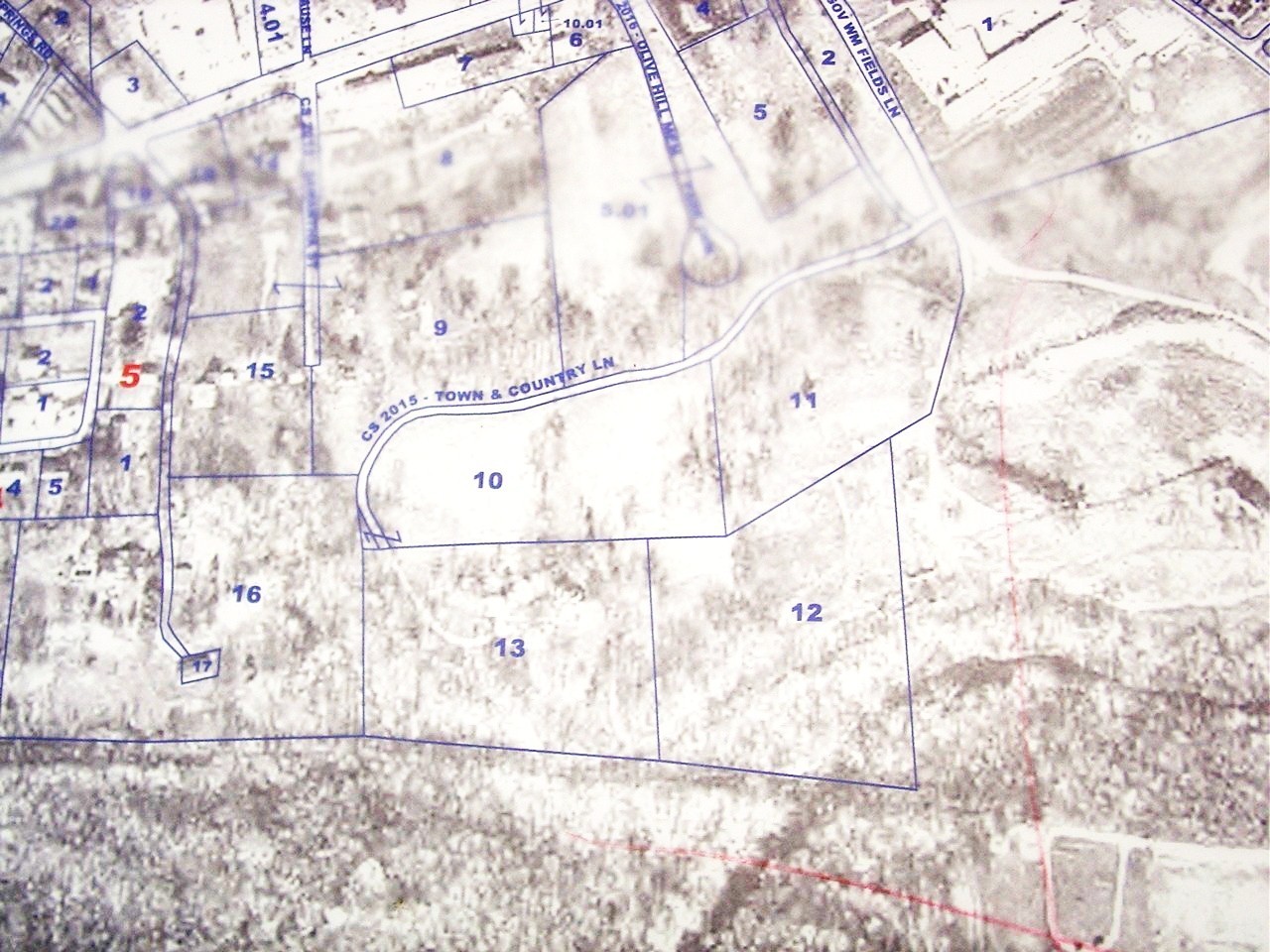
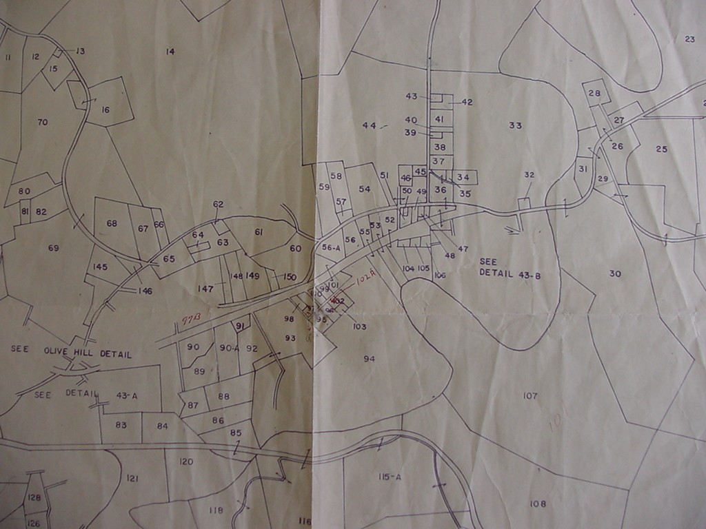
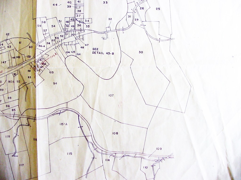
If this tract is "east of the Paynter tract" (tract 10?), then it must be Assessor's Map 43-10, Parcel 11.
Paradoxically, as cited on the deed, this very tract was once owned by the Paynters!!
My guess is that parcels 10 and 11 together were once known as the "Paynter property", and thus, this is the eastern half of the former "Paynter" property.
On other deeds, this parcel is apparently referred to as the "Knorzer property"
Note also that a reservation for a road is made. This may be a reference to Town and Country Lane.


Submitted by: John W. Grace