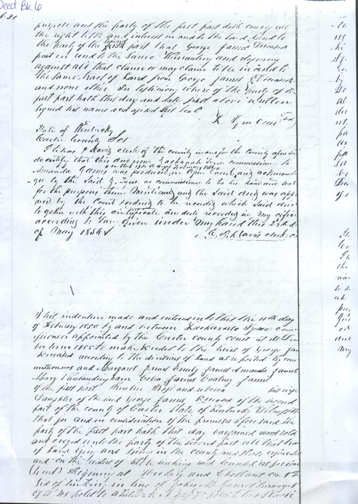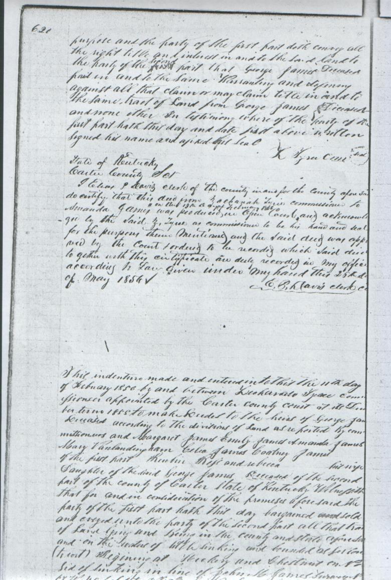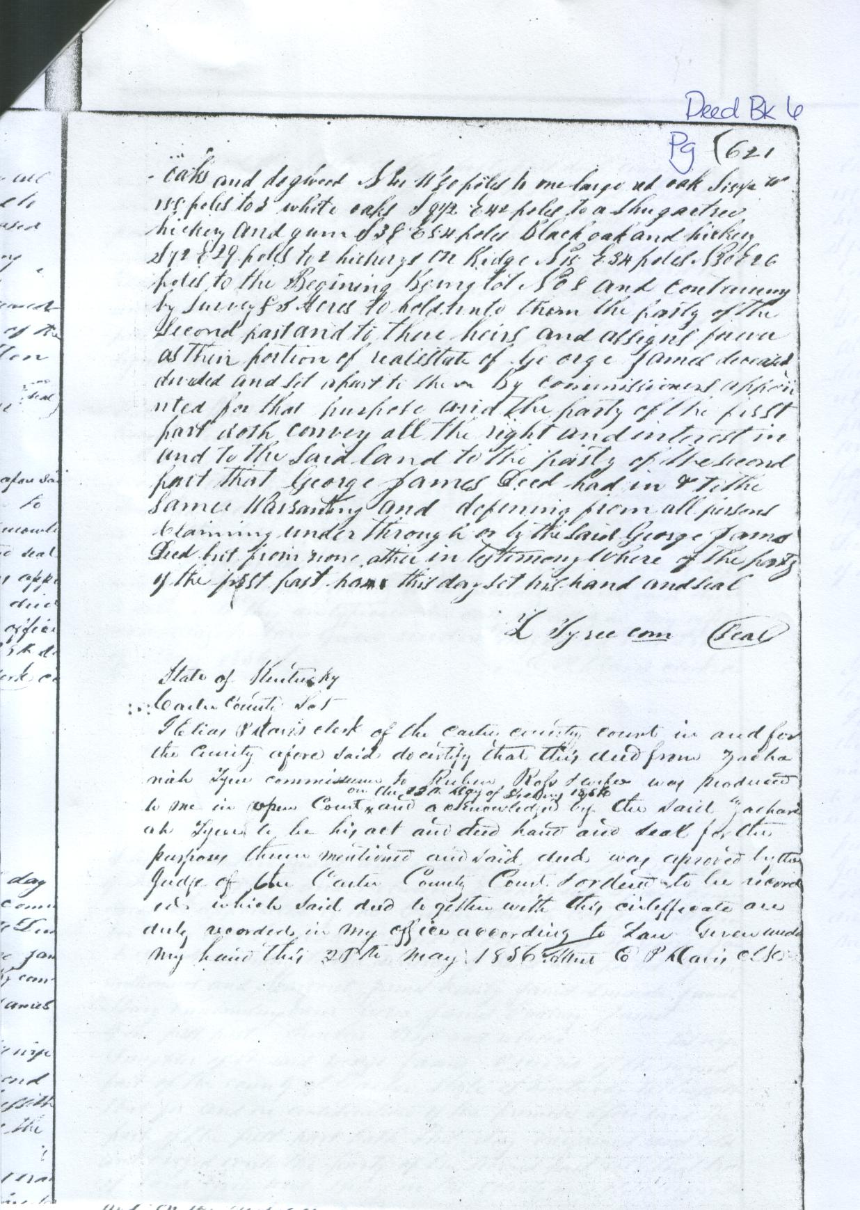
Deed Book 6, Page 620
Deeding property to the heirs of George B. James
Grantors -
George James (Sept. 16/18, 1791 - Jan. 16, 1855), the deceased, believed to be the son of John W. James and Mary "Polly" Jackson
George B. James was married to Rebecca Zornes (1800 - ca1836) on July 15, 1816 and also to Sarah "Sally" Smith on Oct. 18, 1836
Margaret James - unidentified, possibly a daughter or daughter-in-law. On this same date, Margaret receives 95 acres under Deed Book 7, Page 589
Emily James - unidentified, possibly a daughter or daughter-in-law. On this same date, Emily receives 68 acres under deed Book 7, Page 627
Amanda James - unidentified, possibly a grandaughter
Celia James - Celia (James) Wilburn (ca1828 - Feb. 15, 1861), a daughter of George James and wife of Reuben Wilburn
Cortney James - unidentified, possibly a grandaughter
Grantees -
Reuben Ross and Rebecca Ross - Rebecca (James) Ross (Sept. 14, 1831 - April 21, 1882), a daughter of George B. James and wife of Reuben Truman Ross

620

This indenture made and entered into this the 11th day of February 1856 by and
between Zachariah Tyree Commissioner appointed by the Carter County Court at
its December term 1855 to make deeds to the heirs of George James deceased
according to the divisions of land as reported(?) ?? Commissioners and Margaret
James, Emily James, Amanda James, Mary Vanlandingham, Celia James, Cortney James
of the first part Reuben Ross and Rebecca his wife daughter of the said George
James deceased of the second part of the County of Carter State of Kentucky
Witnesseth that for and in consideration of the promises aforesaid the party of
the first part hath this day bargained sold and conveyed unto the party of the
second part all that tract of land on the waters of Little Sinking and bounded
as follows (to wit) Beginning at hickory and chestnut on N side(?) of Sinking in line of John H, James surveyor
S 77 W 48 (***) to white oak N 42 E 73 to 2 black
      (***) "S 57 W 48 to white oak N 42.5 E 73" on Deed Book 8 Page 30


												621

oaks and dogwood S 41 W 80 poles to one large red oak S 15.5 W 155 (*)
									(*) "S 15.5 poles" on Deed Book 7 Page 337

to 2 white oaks S 8.5 E 42 poles (**) to a sugar tree
   		(**) "3 white oaks S 9.5 E 42 poles" on Deed Book 7 Page 337

hickory and gum S 38 E 54 poles black oak and hickory
S 72 E 29 poles to 2 hickorys on ridge N 15 E 34 poles N 30 E 26
poles to the beginning. Being lot No. 8 and containing
by survey 85 acres to hold unto them the party of the
second part and to their heirs and assigns forever
as their portion of real estate of George James deceased
divided and set apart to them by commissioners appointed
for that purpose and the party of the first
doth convey all the right and interest in
and to the said land to the party of the second
part that George James dec'd in & to the
same warranting and defending from all persons
claiming under, through or by the said George James
dec's but from none attic(?) in warranty where of the party
of the first part have this day set his hand and seal.

							Z. Tyree, Com.   (seal)


Submitted by: John W. Grace