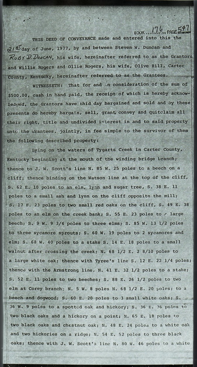
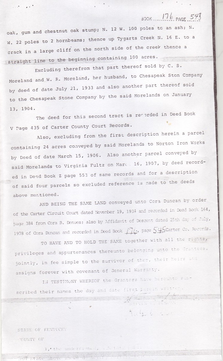
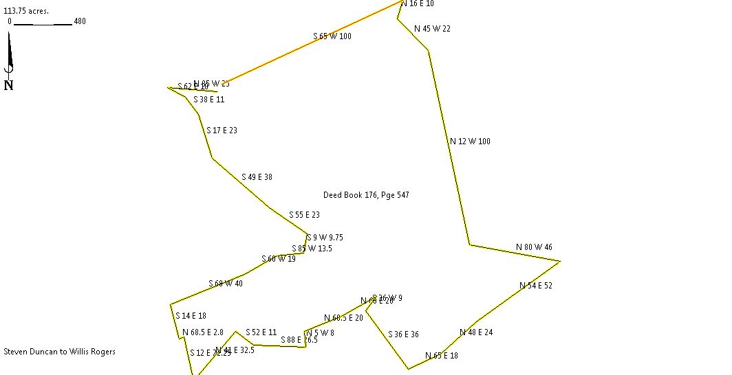
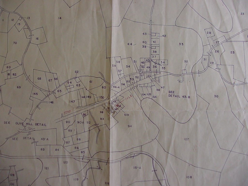
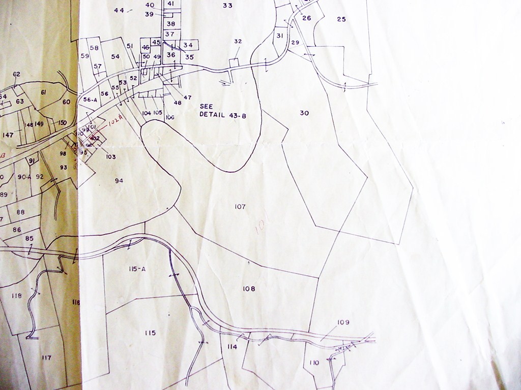
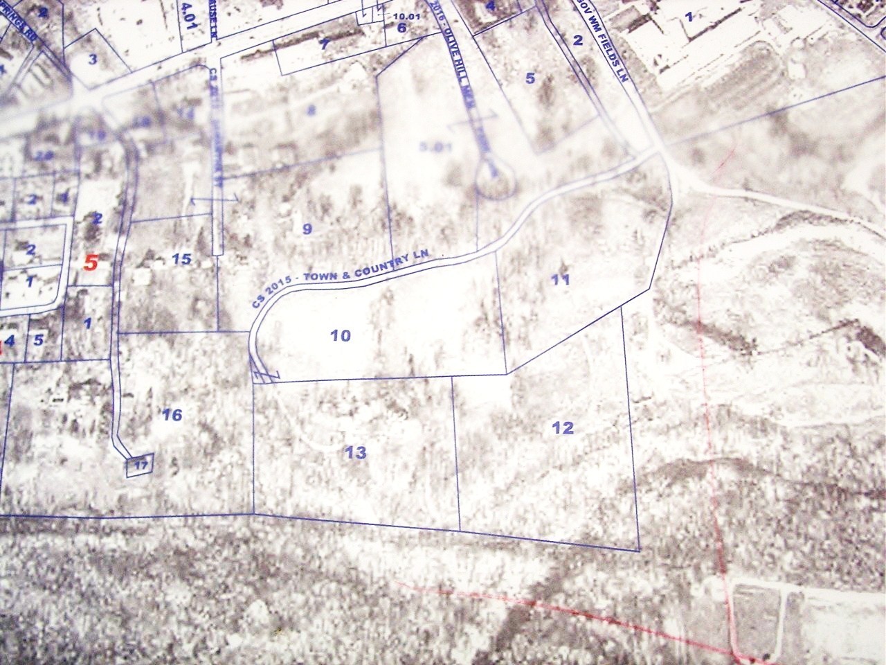
The described parcel appears to encompass Assessor's map tracts 47, 48, 49 & 49.01
In which case, parcels 49 & 49.01 are the tracts deed to the Chesapeak Stone Co.
Interestingly, the Assessor's map indicates that the Chesapeak Stone Co. parcel includes the NORTH side of Tygart Creek,
the same tract supposedly purchsed by Jackie Ruth (recorded in Deed Book 219, Page 309)!!

Submitted by: John W. Grace