
606

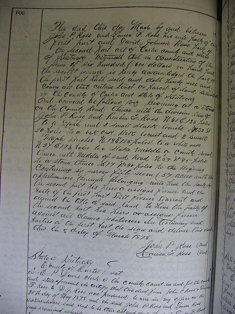
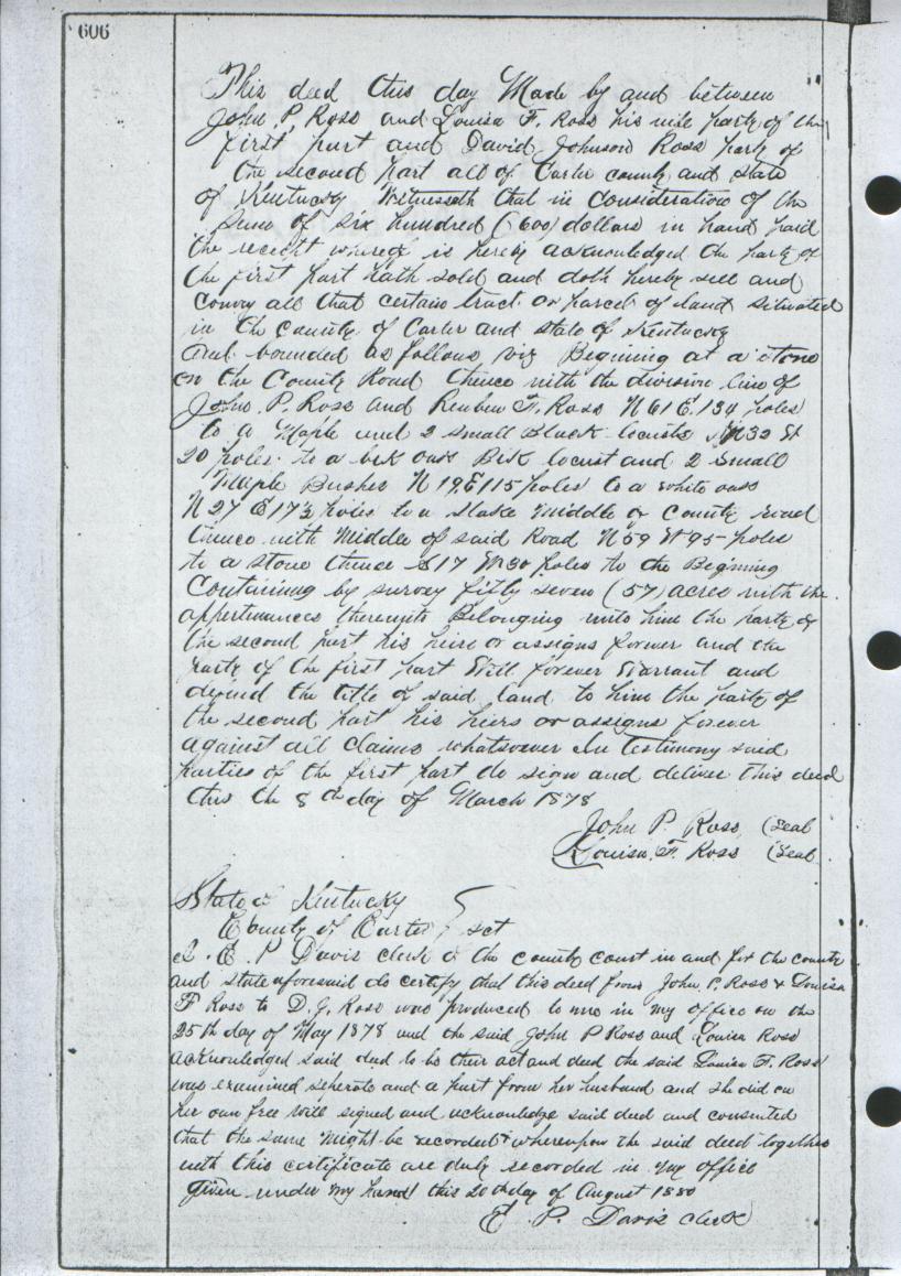
This deed this day made by and between John P. Ross and Louisa F. Ross, his wife,
party of the first part, and David Johnson Ross, party of the second part, all of
the Carter County and State of Kentucky, witnesseth that in consideration of the
sum of six hundred (600) dollars in hand, paid the receipt which is hereby
acknowledged, the party of the first part hath sold and doth hereby sell and covey
all that certain tract o parcel of land, situated in the county of Carter and State
of Kentucky, and bounded as follows, viz: Beginning at a stone on the County Road,
thence with the division line of John P. Ross and Reuben F. Ross, N 61 E 134 poles
to a maple and 2 small black locusts, N 3 (32?) W 20 poles to a blk oak, blk locust
and 2 small maple bushes, N 19 E 115 poles to a white oak, N 27 E 17 1/2 poles to a
stake middle of county road, thence with middle of said road, N 59 W 95 poles to a
stone, thence S 17 W 30 poles to the beginning. Containing by survey, fifty seven
(57) acres with the appurtenances thereunto belonging unto him, the party of the
second part, his heirs or assigns forever and the party of the first part will
forever warrant against all claims whatsoever In testimony said parties of the first
part do sign and deliver this deed, this the 8th day of March 1878.

 								John P. Ross  (seal)
  								Louisa F. Ross  (seal)

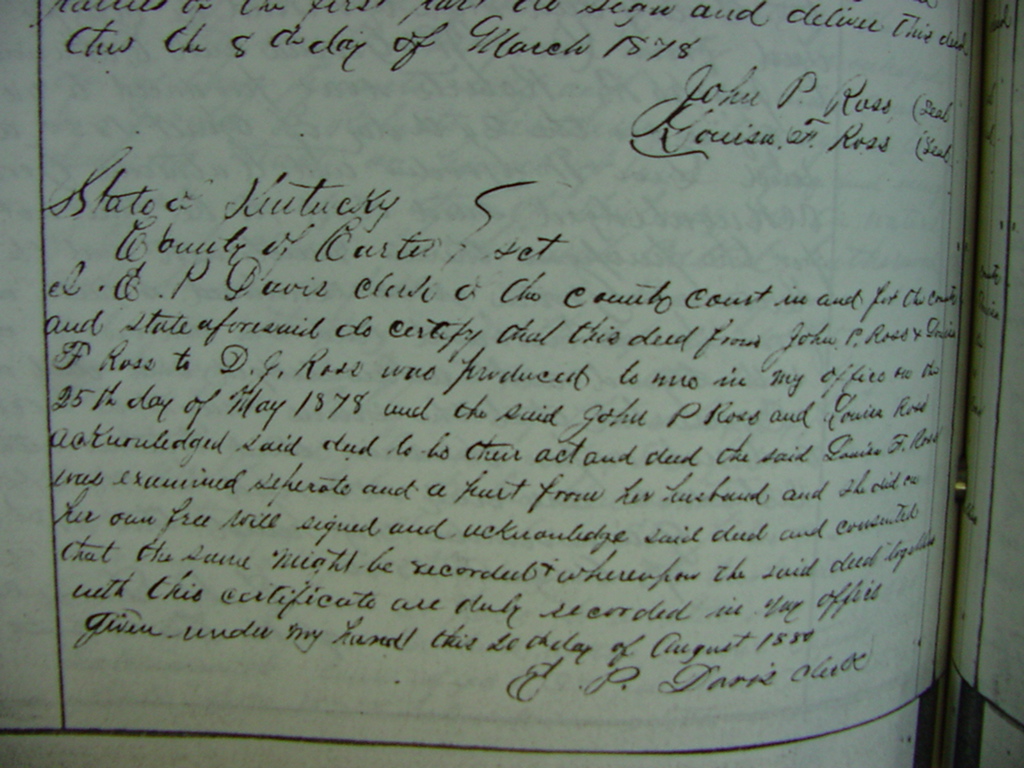
State of Kentucky
   County of Carter
I E. P. Davis, Clerk of the County Court in and for the county and state aforesaid do
certify that this deed from John P. Ross & Louisa F. Ross was produced to me in my
office on the 25th day of May 1878, and the said John P. Ross and Louisa Ross were
examined seperate and a part from her husband, and she did in her own free will signed
and acknowledged said deed and consented that the same might be recorded & wherefore
the said deed together with this certificate are duly recorded in my office, given
under my hand this 20th day of August 1880.

						E. P. Davis, Clerk


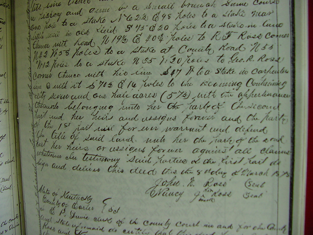
				(deeds parcel also referenced on page 94)
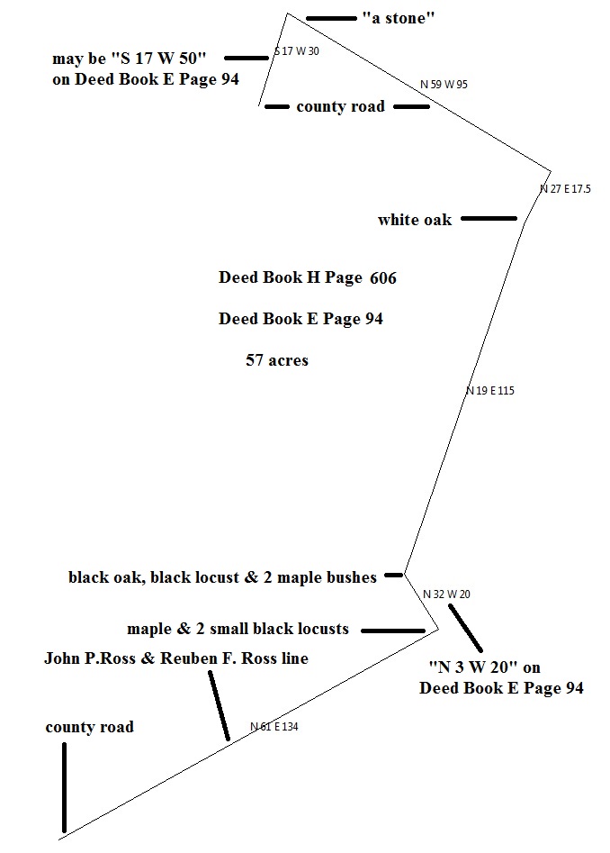
On Deed Book E Page 94: the above "N 32 W 20" call is recorded as "N3 W 20";
the above "N 59 W 95" call is recorded as "N 51 W 95"
the above "S 17 W 30" call is recorded as "S 17 W 50"
Neither deed's calls creates a closed plat of land.