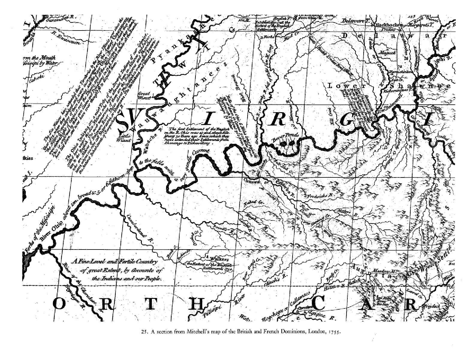
1755 Mitchell map of the "British and French Dominions"
In the upper right of this map, just to the left of the caption "Shawnee" the "Chicothe R.".
The is the Scioto River flowing south to the Ohio River.
To its right, next to the second "I" in "VIRGINIA" is the "Gr. Canhaway R." in West Virginia.
To its left is the "Guyandot R.". To its left is the "Gr. Sandy R." (the Big Sandy River), the eastern border of Kentucky.
The next river to the left (west) is "Lit. Sandy R.". The next line to the left is the Native American
trail that entered Kentucky just across the river from the mouth of the Scioto and present-day Portsmouth, Ohio.
Tygarts Creek is not indicated on this map.
