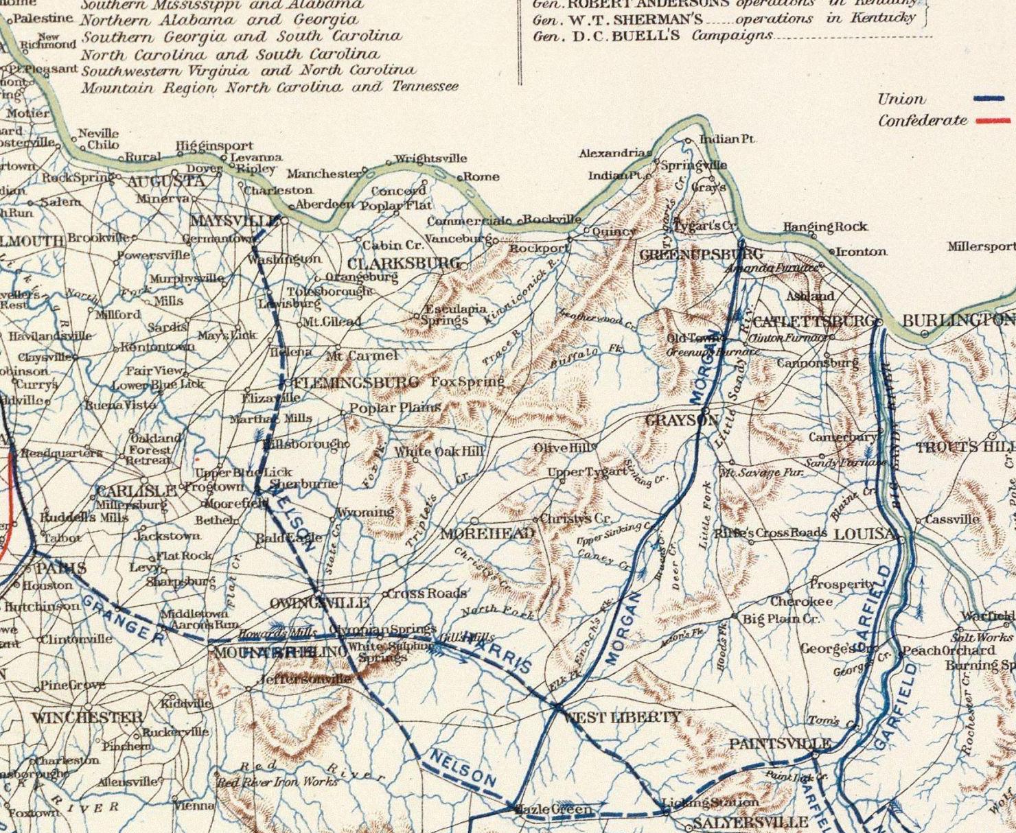
1895 War Department Map of the Carter County Region

Note:

What we know as Garrison, Ky. (where the Kinniconick Creek enters the Ohio River) is labeled "Rockport" on this map.

The community of "Escalapia Springs" on this map must be either Camp Dix or Kinniconick. It's hard to tell which.

The road/trail between Olive Hill and Flemingsburg (it passes through Poplar Plains) is shown on all early maps.
I have no clue how it relates to any roads that exist today. Maybe there's a lost road in them thar hills ;)

Not sure when Greenupsburg became Greenup, Ky. Evidently it was after this map was made.

Rather peculiarly, Morehead, Ky. is shown to be southeast of "Triplet's Creek". Today's downtown Morehead is
very much northwest of Triplett Creek. There's really nothing at this map's location for Morehead.