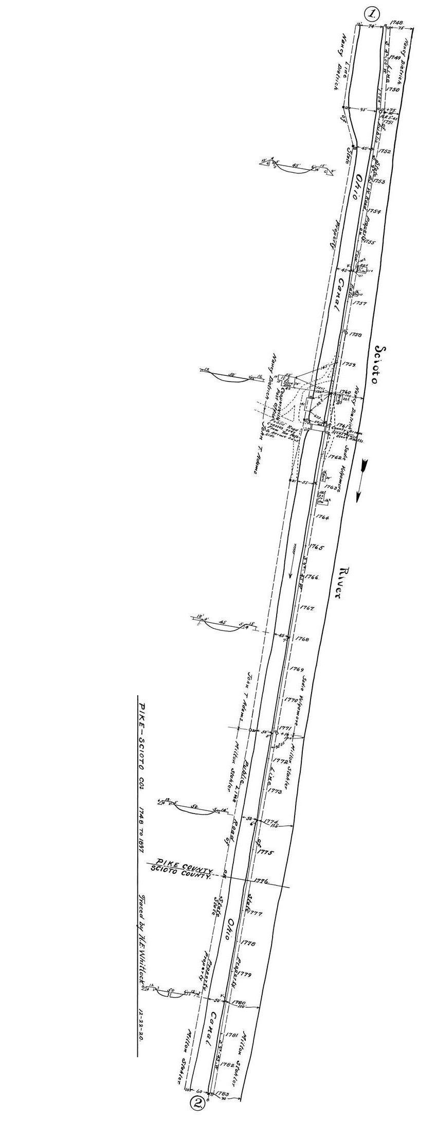
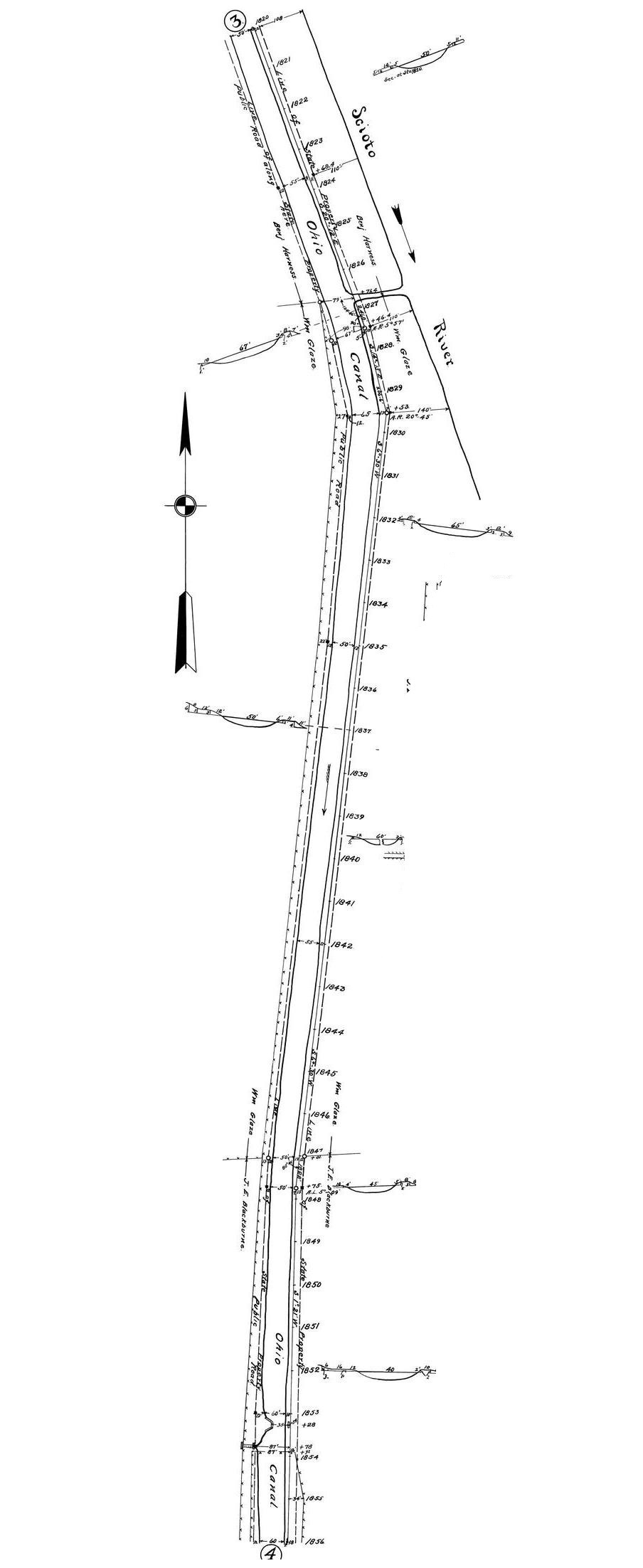
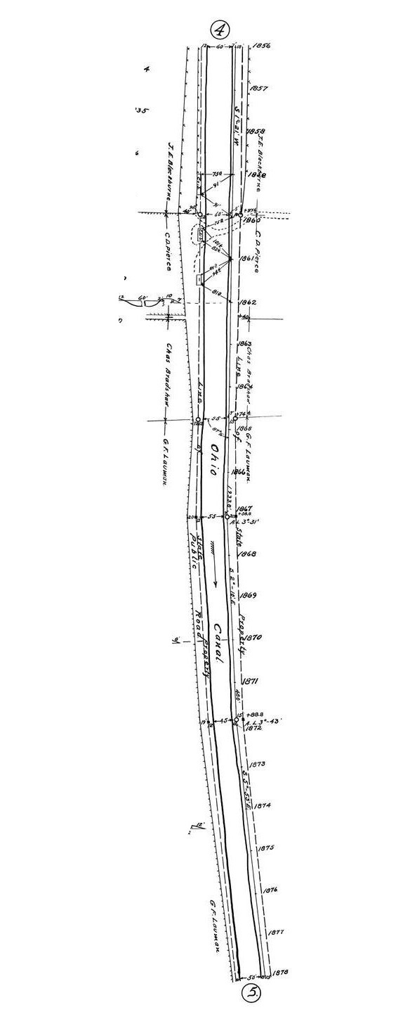
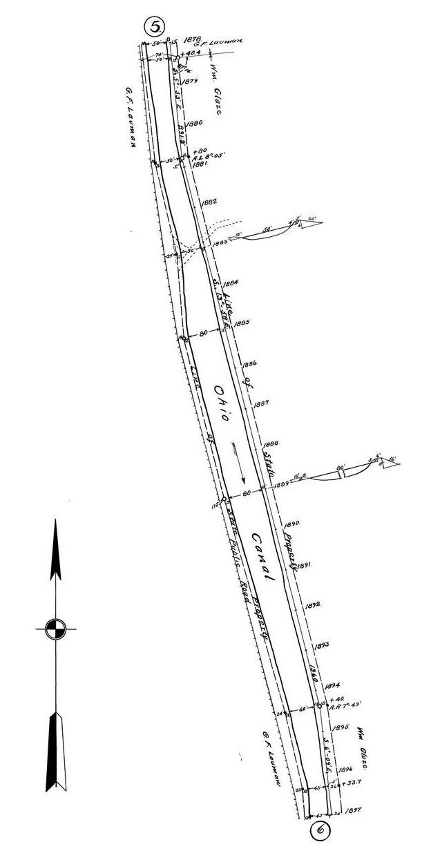
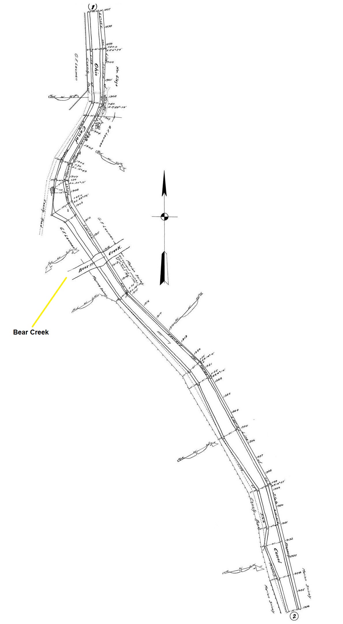
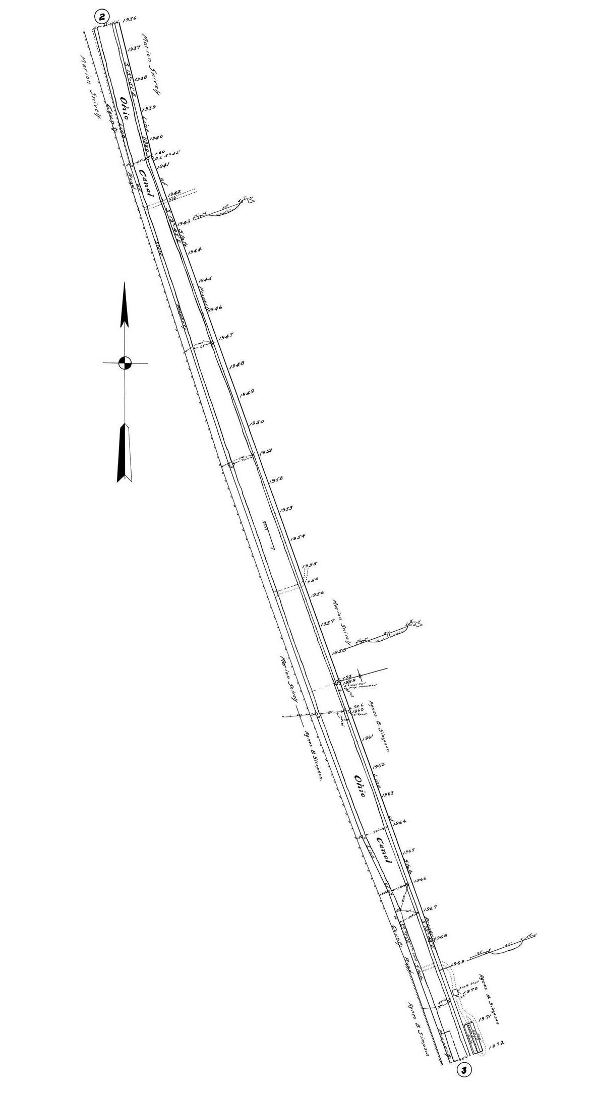
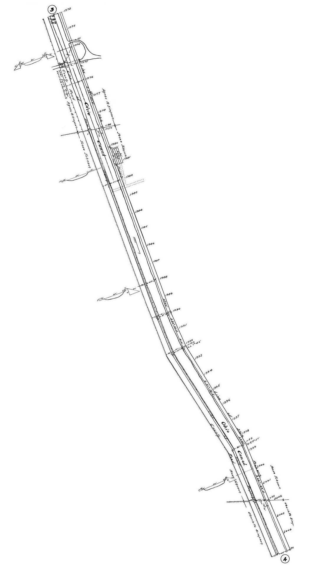
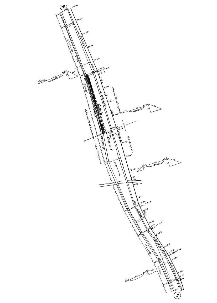
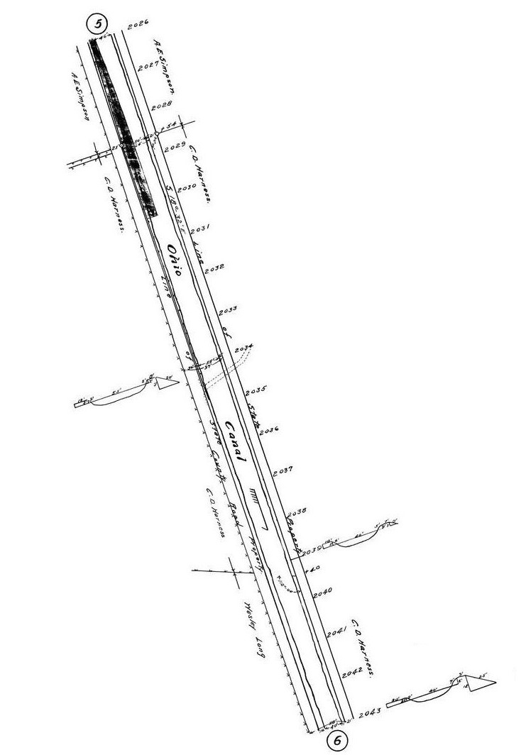
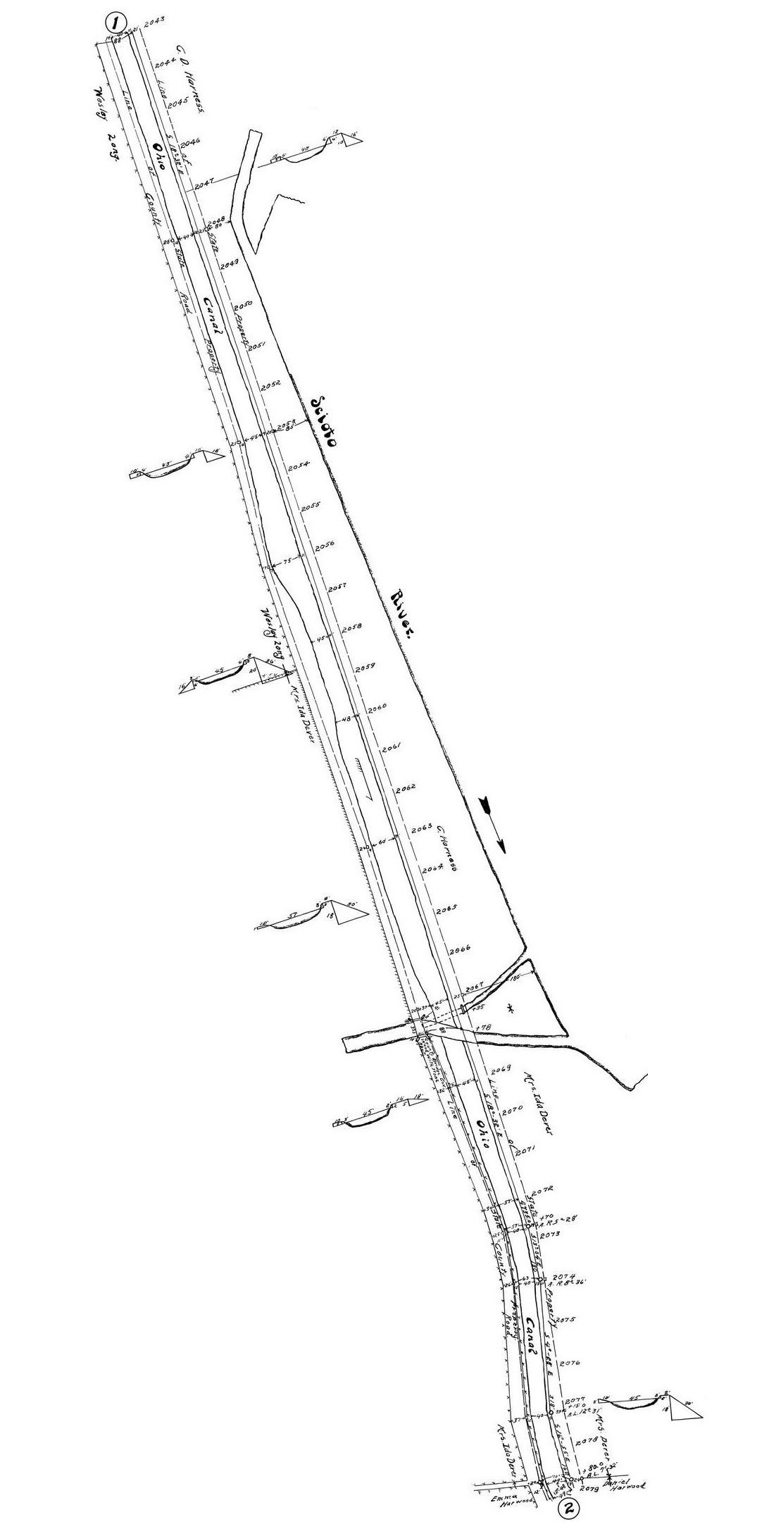
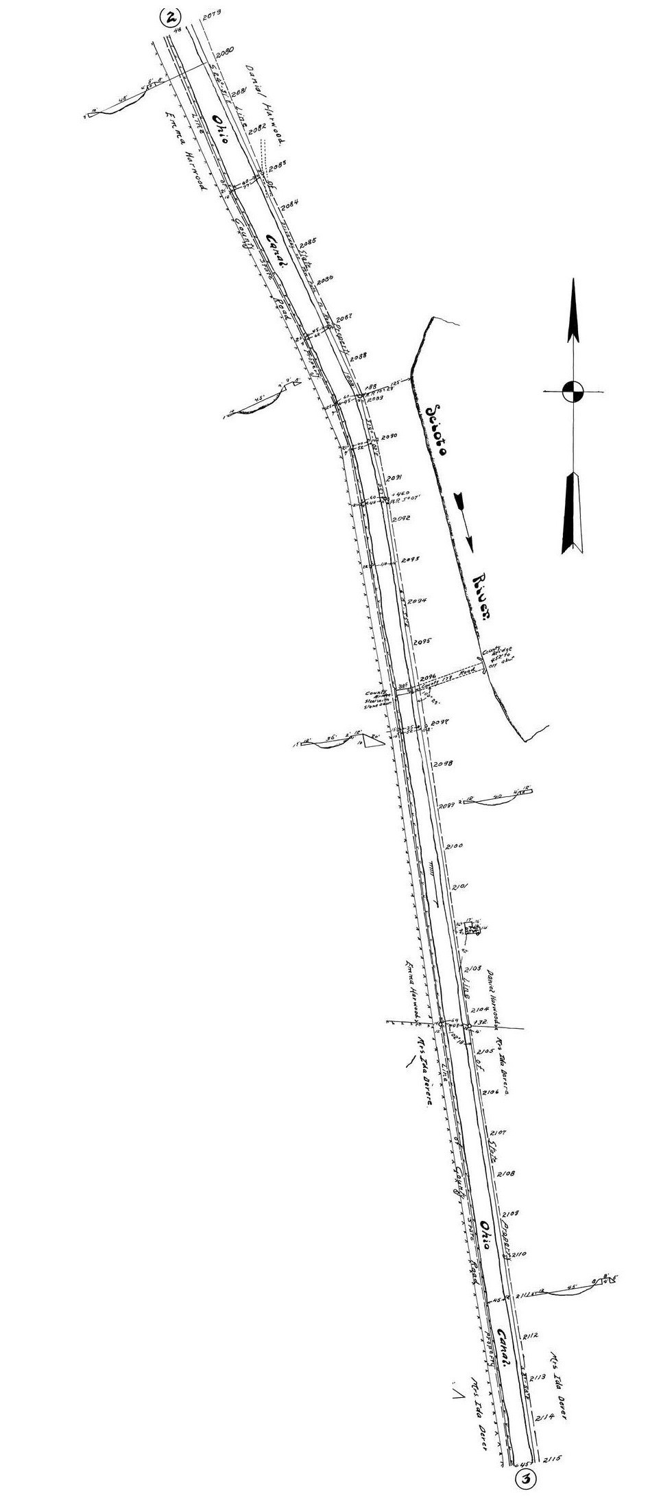
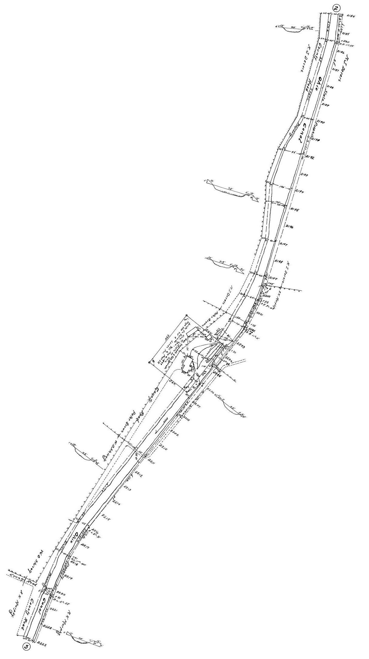
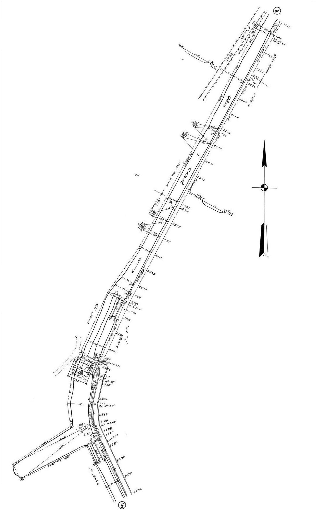
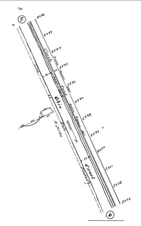
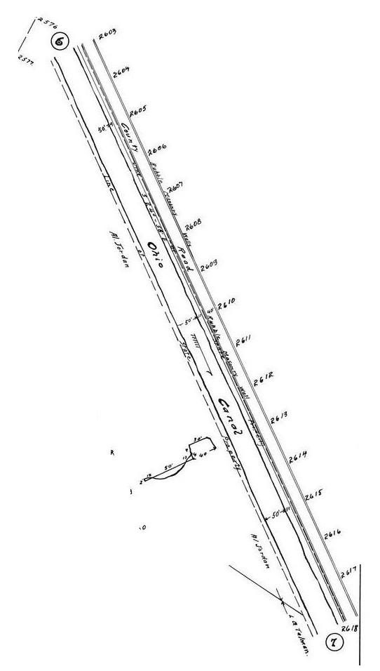
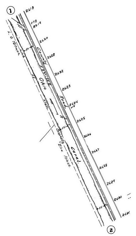
The Scioto County segments of the Ohio and Erie Canal
*** Use your browser "zoom" settings to magnify your view of these maps ***
Lying in the Scioto Valley, the Ohio and Erie Canal enters the Ohio River at Portsmouth.
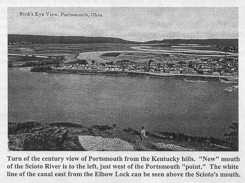
In fact the canal never made it to Portsmouth. It actually entered the Scioto River from the west side (Portsmouth is on the east side).
Plagued by repeated flooding and shoaling the canal terminus was a constant problem.
Late in the life of the canal (1887) a new outlet entered directly into the Ohio River.
Source: Canal Society of Ohio
These maps may take a minute to load completely..
This first group of maps is formated as found on the Ohio DNR website. Each page contains contiguous canal map
segments for a portion of the canal system.
These maps are of interest to Carter County, Kentucky researchers of Native American history because
the Native Americans who hunted and settled in the Carter County - Eastern Kentucky region were,
in the time immediately preceding European/American contact, frequently members of tribal confederations inhabiting
Central Ohio (generally the Chillicothe area). The Scioto valley was the principle thoroughfare between
what is today Eastern Kentucky and Central Ohio.
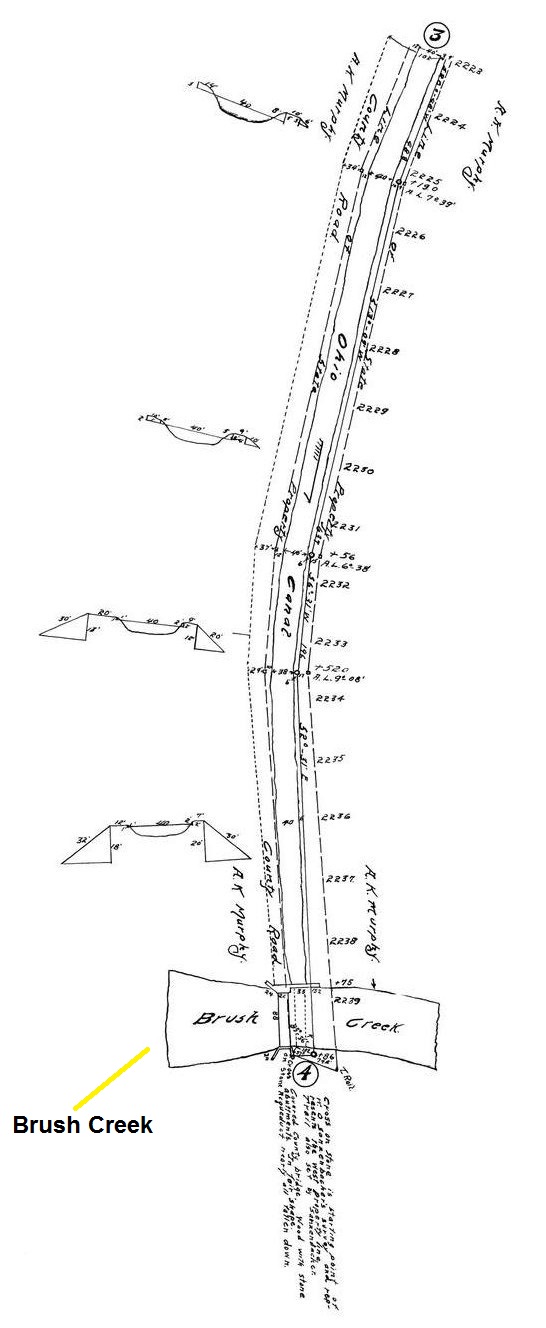
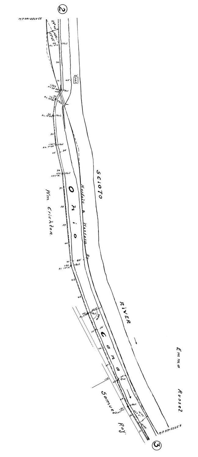
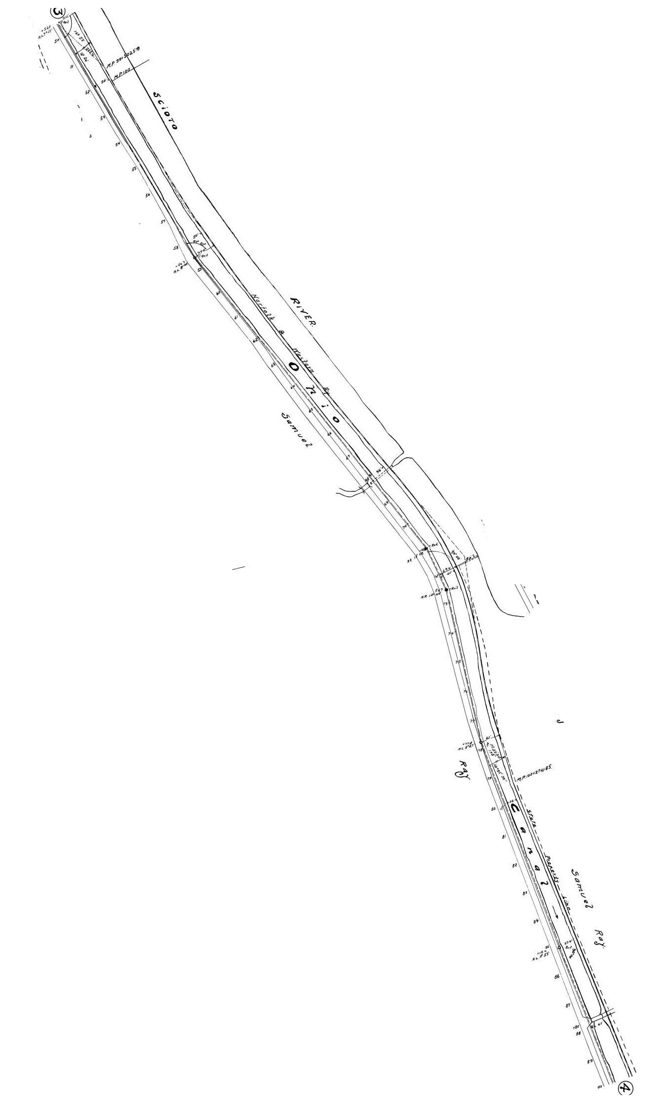
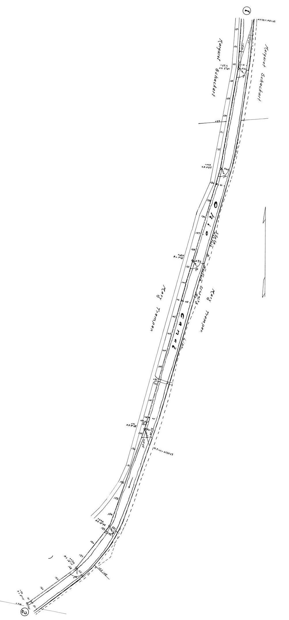
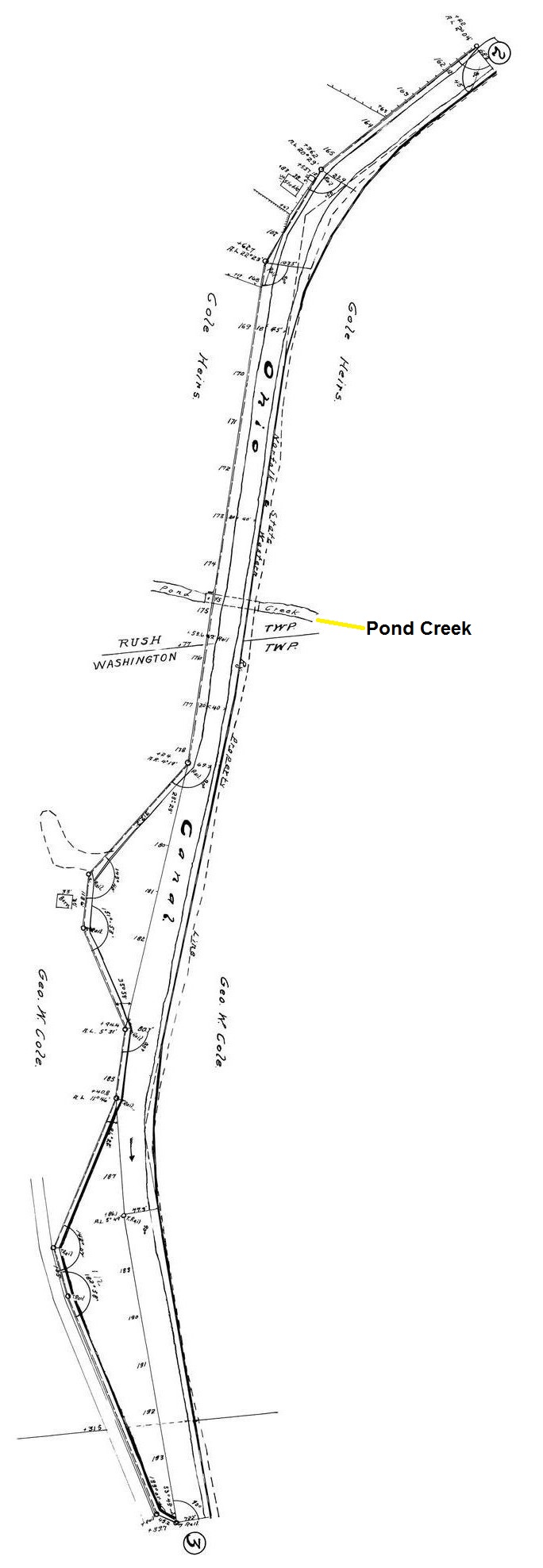
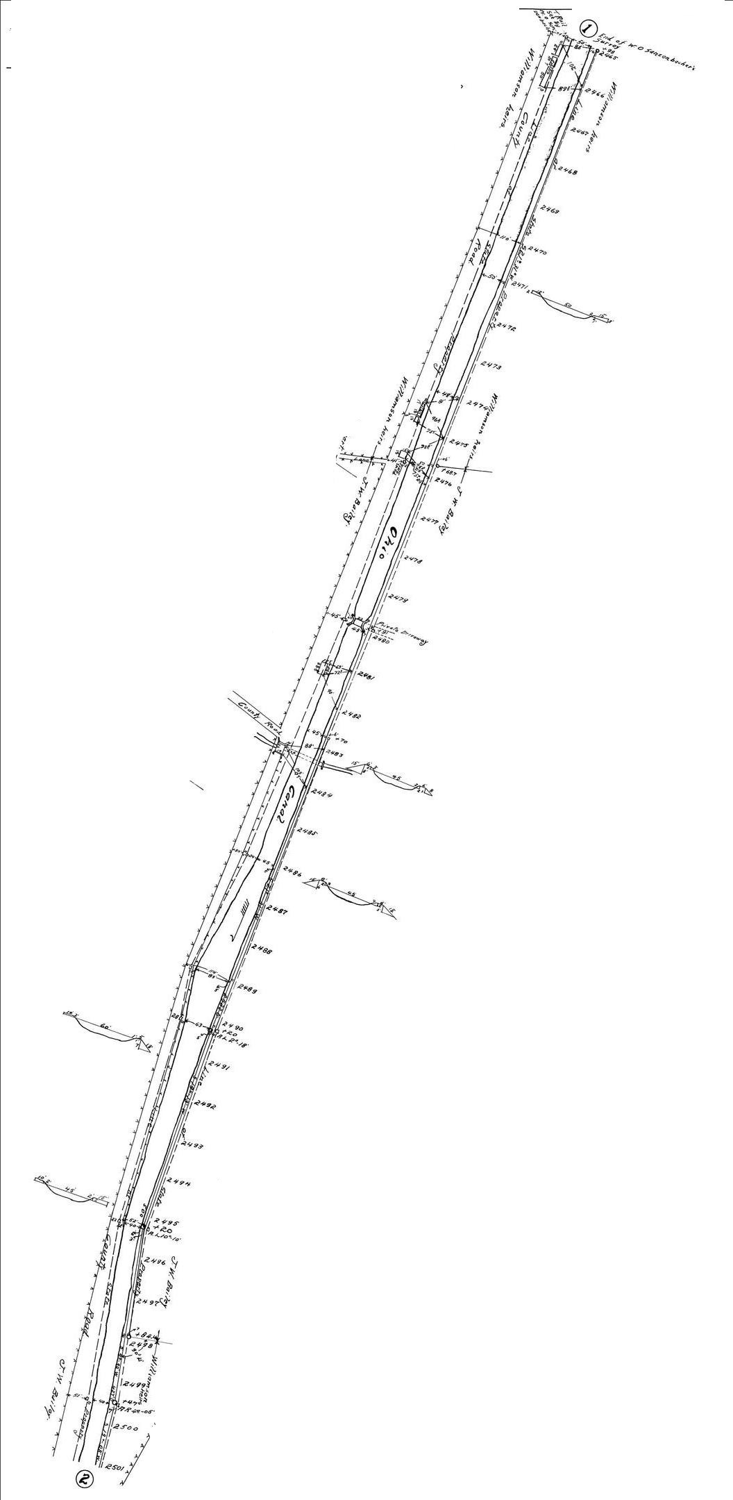
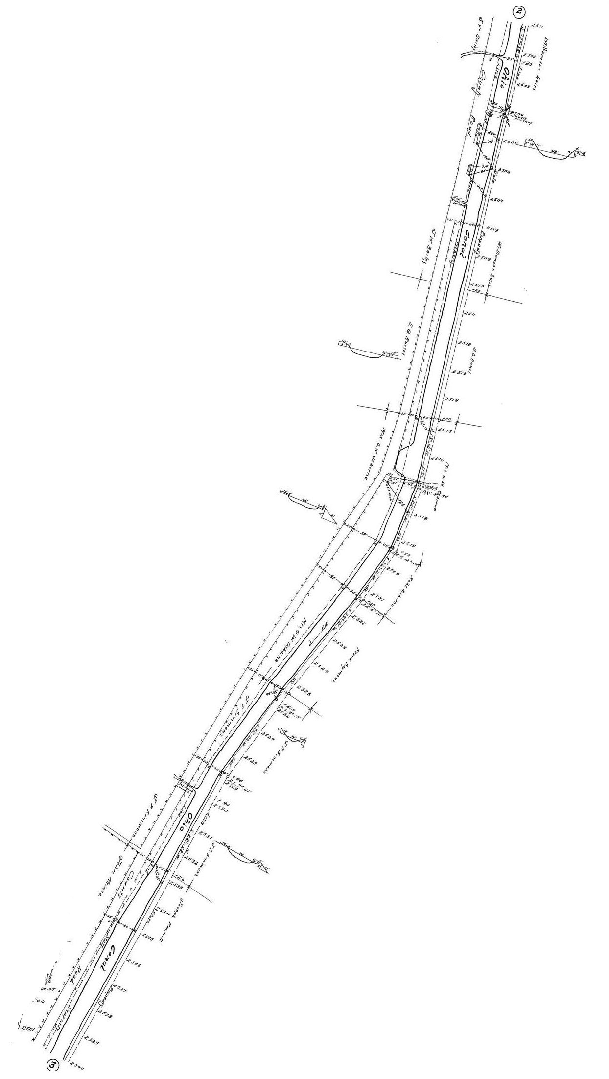
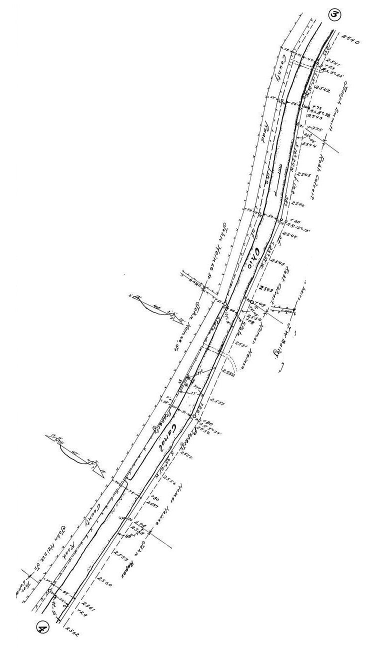
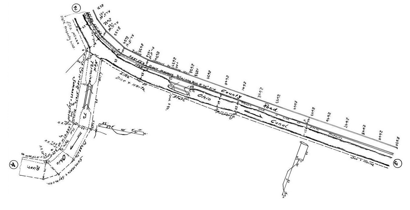
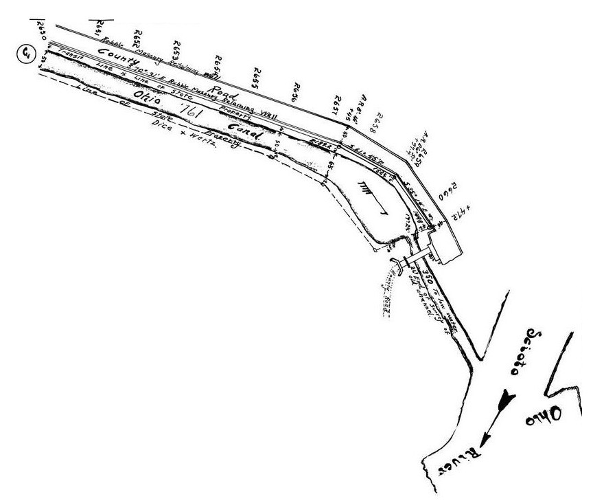
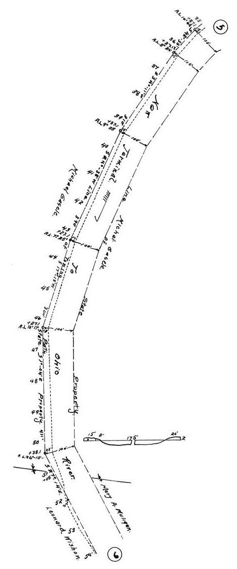
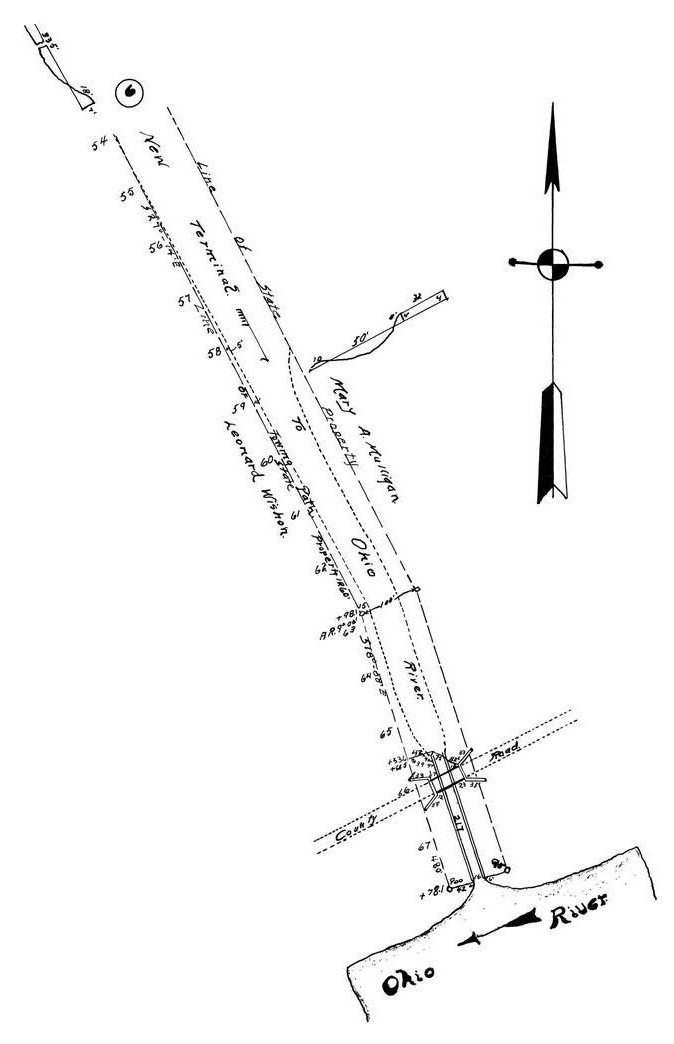
The images below are a series of maps representing the engineering features of the canal, north to south.
They also, not incidentally, show the natural geographic and developed features of this area when the maps were created..
For those familiar with south-central Ohio, Rt 104 between Portmouth and Chillicothe, Ohio generally
conforms to the path of the canal. There are a few remnant artifacts related to the canal to be found along the roadway.
I would like to eventually key these maps with locations along the current Rt 104 roadway.
It would add a little interest to the drive through the area. It really is quite pretty in mid summer. We'll see.
An article on the history of the Ohio and Erie Canal
Canal Maps in the original DNR format
First map segments begin at the Pike Countyline
The Ohio canal segments in Scioto County |
A corresponding 1875 map of the Scioto River & canal |
Mileage markers 1748 - 1783
|


|
