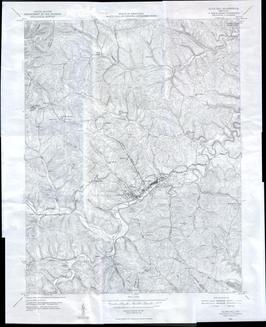
1950 Olive Hill Quadrangle Topographic Map

Map is very large. High speed internet access is recommended for easy viewing


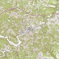
Olive Hill Map as a single, LARGE image (smaller area than above image)


Grayson Quadrangle Topographic Map


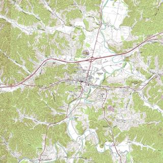
Charlotte Furnace Quadrangle Topographic Map
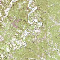

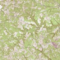
Big Sinking Creek Quadrangle Topographic Map

Big Sinking Map as a single, LARGE image


Return to main Carter County page

Send questions and comments to John Grace

Kentucky GenWeb project

This page was last updated on -- Tuesday, 29-Oct-2024 04:23:32 CDT
© John Grace/ Oakland, Ca.