First came the great beasts, remnants of the post Ice Age megafawna. Among them were the migrating herds that were given many names,
but became known to the European immigrants as the American bison or the North American buffalo.
The vast bison herds migrated north and south of the Ohio River with the seasons,
following the new grasslands and fleeing winter snows, protected from predators by their size, agility, intelligence and great numbers.

Over centuries of trial and error, the migrating herds found the most efficient pathways
from the American South to the futile glacially leveled meadows and Eastern prairies north of the Ohio.
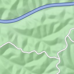
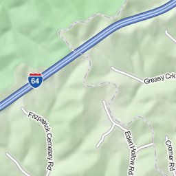
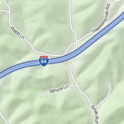
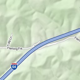
Portions of those ancient pathways passed through what is now our Carter County.

Early man entered this Eden some 15,000 years ago. In some primordial sense,
man shared some of the migratory demands that were imposed by nature upon on the beasts.
The Ancient Ones sought out the great herds on their migrations, and for unnumbered generations followed the
trails created by their hooves. In their turn, the frontiersmen, the early settlers and the travelers by foot, horse, wagon and
automobile followed many of the same paths established by the now long lost herds of bison.

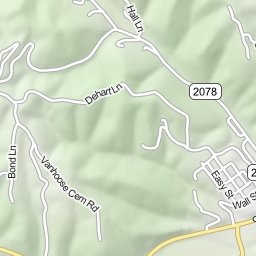
This Ancient Paths project is an attempt to identify and explore those original trails.

Little evidence remains of the migration routes of the great bison herds. There are, however, important clues in the trails used by
the Original People ("Native Americans"), as recorded by the early European American visitors to our region. One of the Native American trails
is sometimes cited is one that entered Carter County from the western plains lands through the creek valley that is now Cave Run Lake in Rowan County,
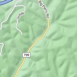
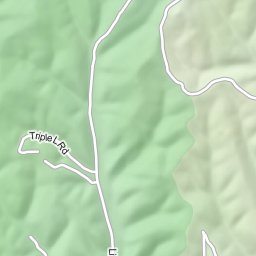
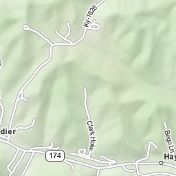
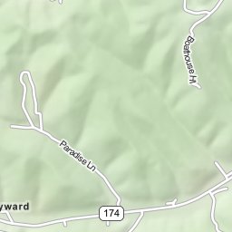
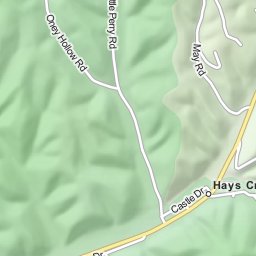
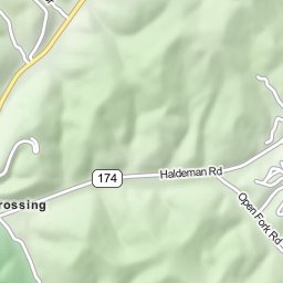
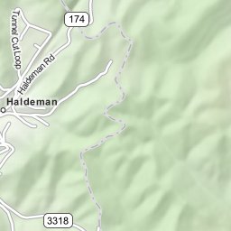
passed just south of present day Morehead, Ky,  followed the hollow created by Triplet Creek and entered Carter County east of Hays Crossing.
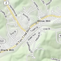
It is known that this trail eventually passed through the Olive Hill area, but its precise route is unknown. In the first part of the Ancient Trails
Project, I will attempt to identify the most probable routing of this important trail.

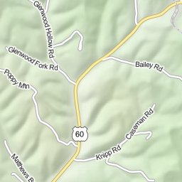
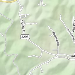
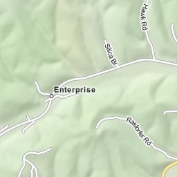
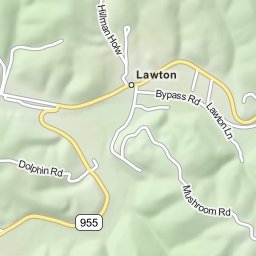
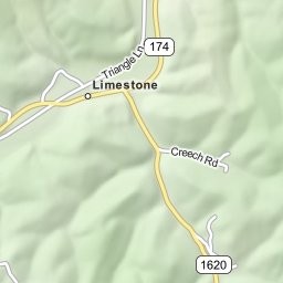
The two routings we will explore is one that follows the Soldier Fork of Tygart's Creek east through Lawton and Limestone to Olive hill.
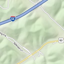
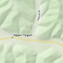
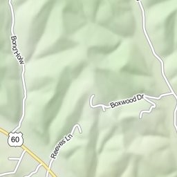
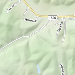
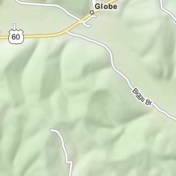
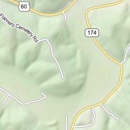
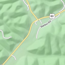
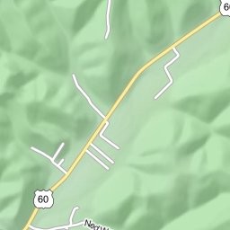
The other routing follows the Midland Trail (US 60) east through Upper Tygart and Globe (roughly following the routing of the head waters
of Tygart's Creek), to a point just west of Olive Hill, hence southeast and then northeast,
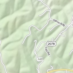
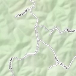
following the bed of Tygart's Creek around the blocking high ground of Garvin Ridge.


On a personal note, my 2nd great grandfather, John Nelson Ross, moved his family from the Licking River area of Bath County
to the Ross Chapel area south of Olive Hill in 1845. In his travels, he in all probability followed the ancient trail we will be exploring.
