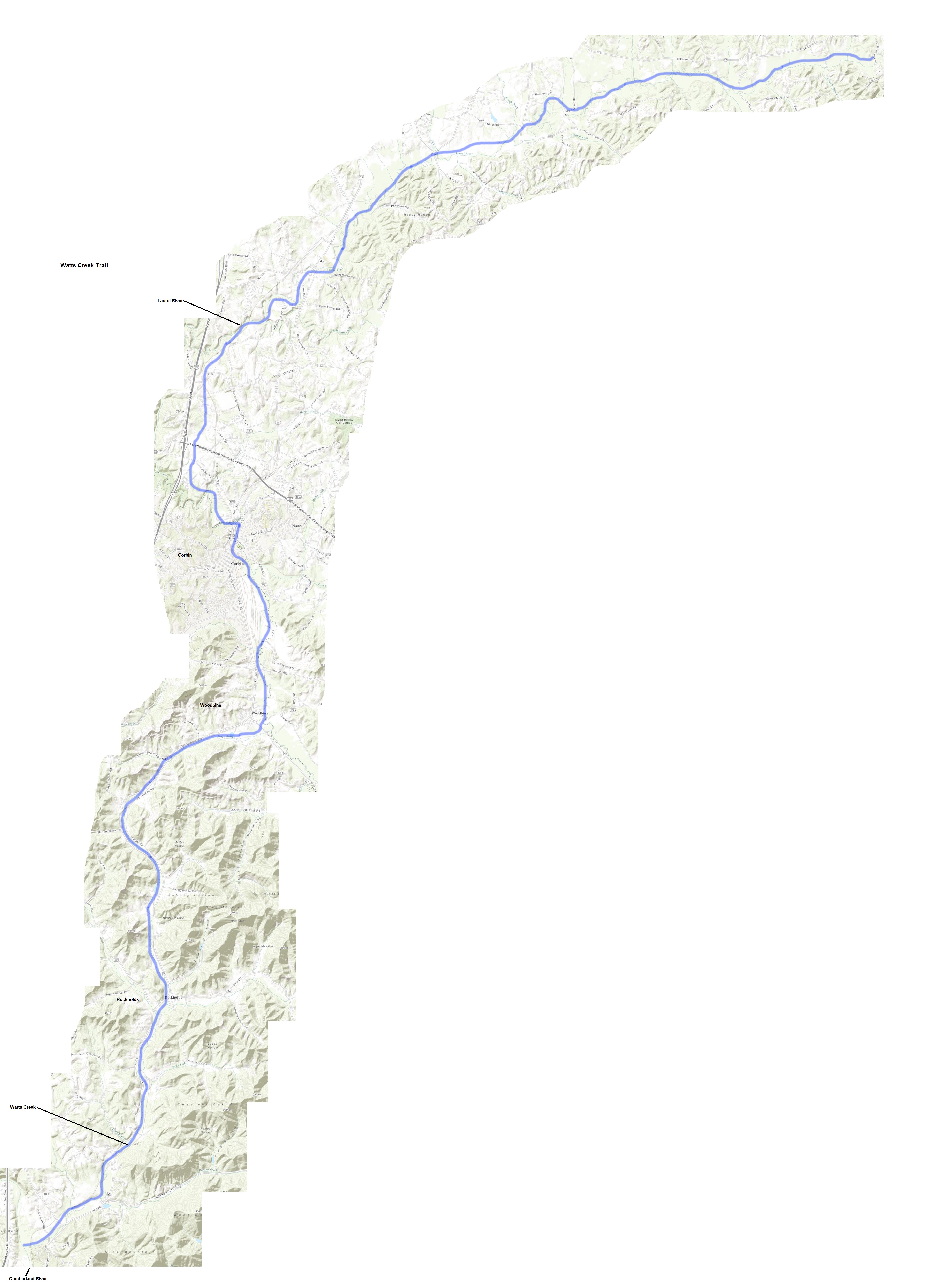
Watts Creek Trail
Watts Creek Trail
Excerpted from "Prehistoric Trails of the Upper Cumberland River Basin" By Charles Mayer Dupier, Jr. "The Watts Creek Trail is a continuation of the Clear Fork Trail. The Smith party followed this trail to the present site of the community of Woodbine in northern Whitley County. The trail follows Watts Creek northward for about six miles, where it intersects with the Thunderstruck Shoals Trail at the present site of the community of Rockholds. From that intersection, it continues northward about four miles to the community of Faber. From here, the trail follows northeastward up Eaton Branch of Watts Creek, about four miles, to the east side of Woodbine where it crosses Lynn Camp Creek. The Watts Creek Trail continued northward and intersected the Wilderness Road in the Laurel River valley. This must have been the true path because the descriptions and distances logged in Smith's journal are easy to follow on current U.S.G.S. topographic maps (Wofford, Rockholds, Vox and Corbin quadrangles) and the fact that three Native Americans were guiding them supports the existence of the trail."
