|
Cemetery
Name |
Map |
Photo |
Location |
|
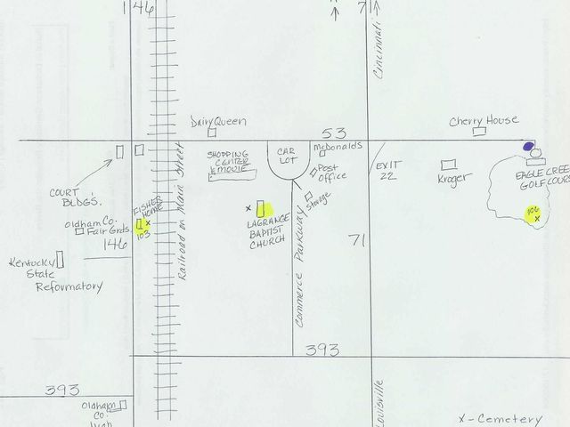
Abbott Cemetery #116 (Patton's Creek) |
|
|
|
|
Ballard Cemetery |
|
 |
|
|
Barnhill Cemetery |
|
|
Ballardsville |
Barrickman, Bland, Overstreet & Rawl Cemetery,
off Hwy. 393, Private Property
|
|
|
|
|
Boulware Cemetery |
|
|
Abbott Ln., Peewee Valley |
|
Brownsboro Cemetery
(African-American cemetery of the area and has
very few stones remaining ) |
|
|
|
|
Brownsboro Cemetery (This is actually a
portion of Harrods Creek Cemetery and has been
mis-named on Find-A-Grave) |
|
|
|
|
Calvary Baptist Church Cemetery |
|
|
|
| Cedar
Creek Cemetery, near Hwy. 393 |
|
|
|
| Clore
Cemetery |
|
|
|
|
Collier's
Cemetery, Bohannon Lane |
map |
|
Covington
area |
|
Confederate
Cemetery (within Pewee Valley Cemetery) |
map |
|
Crestwood |
|
Abraham
Copal Cemetery |
|
|
Pewee Valley |
|
Covington
Church Road Cemetery |
map |
|
Covington
Ridge |
|
Crestwood Cemetery (aka Floydsburg
Cemetery. Link below) |
|
|
|
|
Duncan Memorial Chapel |
|
|
|
|
Evergreen Cemetery |
|
|
|
|
Fible
Cemetery,
KY 22 & 53 |
map |
|
Ballardsville |
|
Floydsburg
Cemetery (Duncan
Memorial Chapel) |
map |
 |
Floydsburg |
|
Harrods
Creek Cemetery
|
map |
|
Brownsboro |
|
James
Head Family Cemetery |
map |
|
LaGrange |
|
Zachariah
Head Family Cemetery |
map |
|
LaGrange |
|
Hoops
Farm Cemetery |
map |
|
Liberty |
| Johnson
Family Cemetery |
|
|
|
|
Kelso Cemetery |
|
|
|
|
Kerlin Cemetery |
|
|
|
|
La Grange Colored
(3rd Ave) |
|
|
|
|
LaGrange (aka
Valley
of Rest Cemetery listed below. There are also
several family plots located there and called by
their respective names) |
|
|
|
| Liberty
Lane Cemetery |
|
|
|
| Locke
Cemetery |
|
|
|
|
Louisville
Memorial Gardens East |
map |
|
Orchard
Grass Hills |
|
Mt.
Tabor Methodist Church Cemetery |
map |
|
Centerfield |
| Shirley
Overstreet Cemetery |
|
|
#95 Buckner |
|
Palin
Cemetery |
map |
|
Westport |
|
Pewee
Valley Cemetery |
map |
|
Pewee
Valley |
|
Pleasant
Hill Cemetery |
map |
|
Centerfield
|
| Priest
Family Cemetery |
|
|
|
| Rule
Chapel Cemetery |
|
|
|
|
Saint Aloysius Cemetery
(Pewee Valley) |
|
|
|
|
Shiloh
Methodist Church Cemetery (Skylight, KY) |
map |
|
Skylight |
|
Spring Hill Family Cemetery (Ballardsville) |
|
|
|
|
Thirlwell Family Cemetery |
|
|
|
|
Valley
of Rest Cemetery |
map |
|
LaGrange |
|
Westport Cemetery |
|
|
|
|
Wheeler
Cemetery |
map |
|
Patton's
Creek area |
|
Woodsmall-Mount-Dowden
Cemetery |
map |
|
LaGrange |
|
Woolfolk
Cemetery |
map |
|
Westport |
|
Yager Cemetery #1 (Floydsburg) |
|
|
|
|
Other
Oldham Cemetery Links
|
|
Updated
June 2012
Oldham County Historical Society
Cemetery Listing
|
|
Updated
June 2012
Oldham County
Historical Society Funeral Homes Records
A listing of funerals conducted by several of the
Oldham County funeral homes. There is duplication
between this database and the graves database, but
this database identifies the individuals who for one
reason or another had their funeral service in
Oldham County but were buried outside of the county. |
|
Updated
June 2012
Oldham County Historical Society Listing of Graves
A survey of all the graves in accessible Oldham
County Cemeteries. The survey was conducted between
2000 and 2010 and lists the interments up to but not
including the year 2000. The graves recorded not
only include those graves with markers, but also
unmarked graves from cemetery and funeral home
records. Some graves, not found in this survey were
recorded in a previous survey conducted in the mid
1960's. Those graves were also included in the
graves database and annotated as Oldham County
Kentucky Records - Cemeteries - Volume 1. |
|
US
GenWeb Tombstone Transcription Project for Oldham
County |
|
The
Political Graveyard |
|
Kentucky
Cemetery Records Database |
|
Crown
Hill Cemetery Indianapolis (linked because of
Oldham connections there) |
|
Saving
Graves: Kentucky Register
cemeteries that you know are in danger! |


